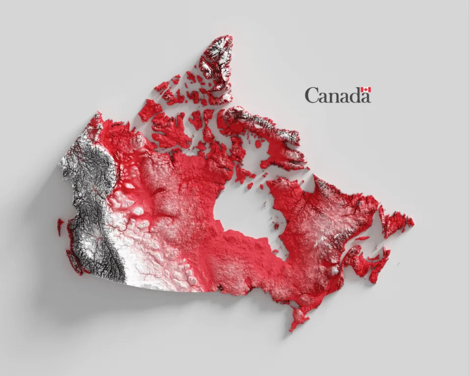
This is a map of Canada highlighting its topography. It is colored according to the two-color Canadian flag: the high, mountainous areas are in white and the lower ones in red.
Canada is the second-largest country in the world by land area, measuring at 9.9 million square kilometers (3.8 million square miles), as noted by Statistics Canada. The measurement includes the mainland and the thousands of islands surrounding it.
Within the mountainous west lies the country’s highest peak. According to Britannica, Mount Logan in Yukon, located in the northwest near the Alaskan border, stands at over 19,000 feet (5,900 meters). It is part of a mountain system that includes mountains and cliffs that also have high points.
Help us out by sharing this map:
6 thoughts on “Canada Shaded Relief Map”