
The map below shows the German capital city of Berlin, as seen in the eyes of East Germany back in the year 1988. As you can see, the left half of Berlin is blanked out. But why is this so?
Before the reunification of Germany in 1990, the country was split into two, West Germany and East Germany. The city of Berlin, which itself was located inside East Germany, is also split into two, West Berlin and East Berlin.
For those living in both East Germany and East Berlin, this map is somewhat accurate, as the west of the capital city is off-limits to them. This was part of the reality of living in the east side of the country at the time; in contrast, those living in West Germany and West Berlin could freely visit East Berlin.
If you found this map insightful, please share it along or comment below.
You May Also Like:

Vatican City Railway Map
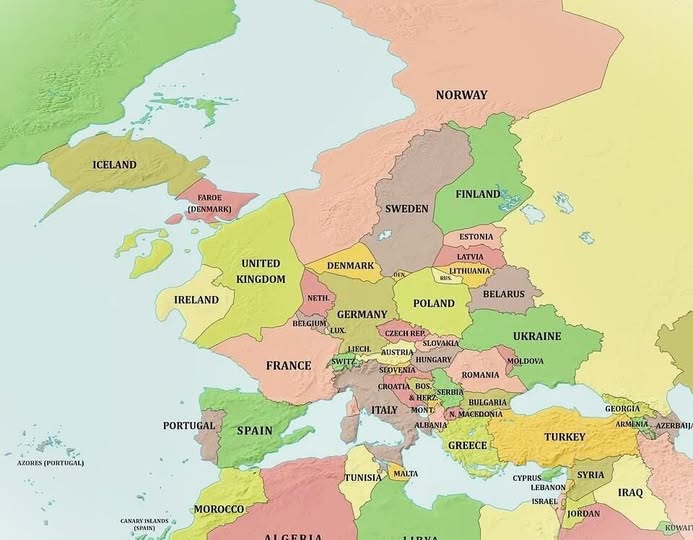
What Would Europe Look Like If the Ocean Dropped 1,000 Meters?
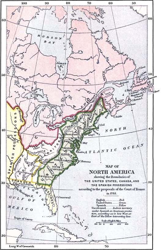
What America Almost Looked Like: France's Audacious 1782 Map
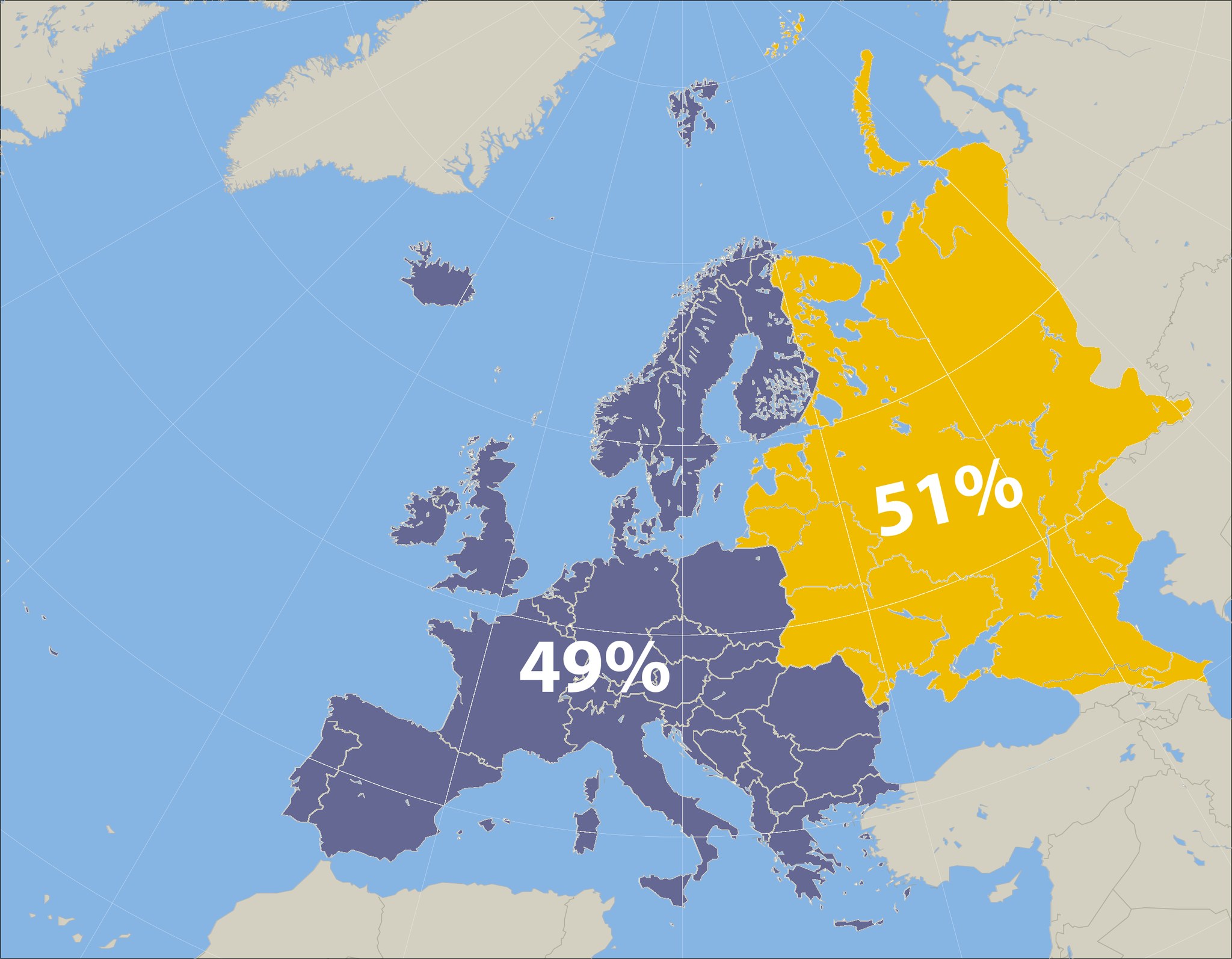
The Hidden Geography of Europe: Why Former Soviet States Dominate Half the Continent
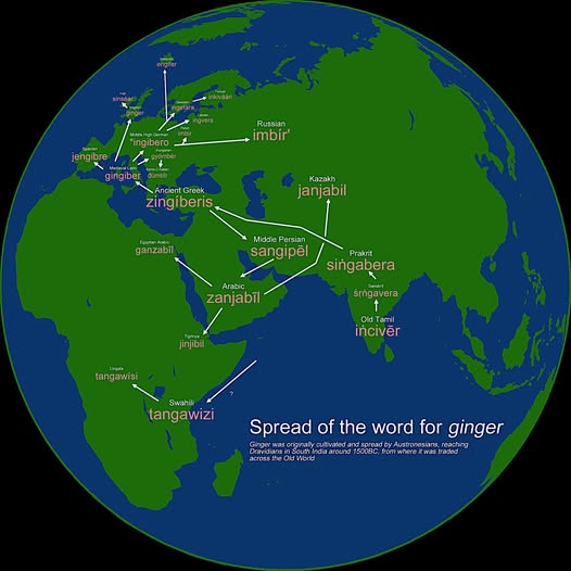
How One Little Root Conquered the World's Languages

Europe's Largest National Park Is Actually in the Amazon Rainforest
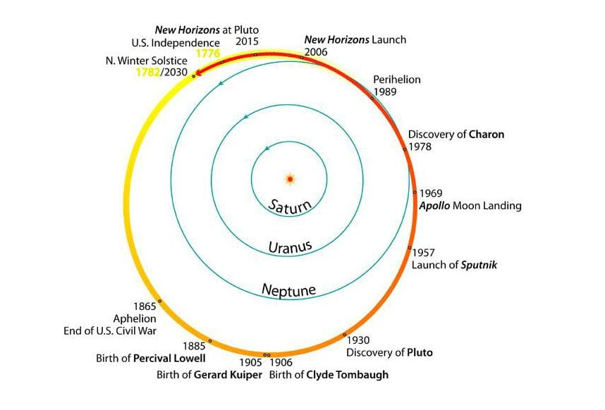
America's Entire History Fits Inside One Trip Around the Sun: A Cosmic Perspective on Pluto's Orbit
2 thoughts on “Germany Map: 1988 East Germany’s Depiction of West Berlin”
Comments are closed.