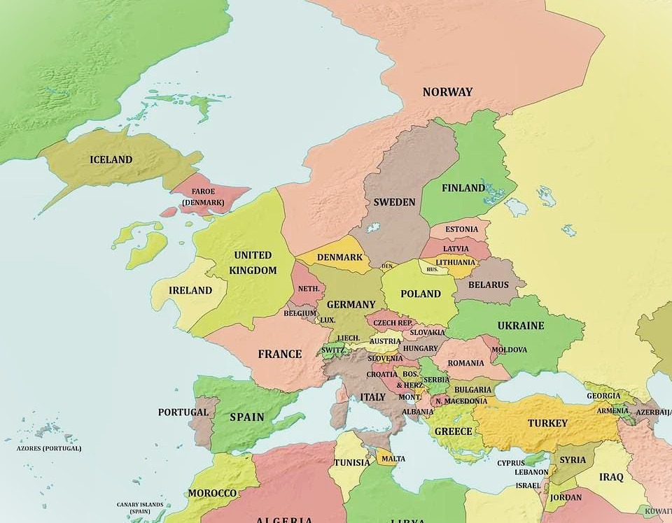
Map by Reddit user Loud_Guardian
Ever wondered what lies beneath the waves surrounding Europe? This remarkable map shows us exactly what the continent would look like if sea levels suddenly dropped by a staggering 1,000 meters.
The results are nothing short of extraordinary, revealing a dramatically different European landscape that would fundamentally reshape geography, politics, and human civilization as we know it.
The Great British Land Bridge Returns
Perhaps the most striking feature of this transformed Europe is the massive land connection between Britain and continental Europe.
The English Channel would completely disappear, creating an enormous plain stretching from Dover to Calais and far beyond. This isn’t just fantasy; during ice ages when sea levels were much lower, such land bridges actually existed and allowed early humans and animals to migrate freely between what are now islands and the mainland.
The North Sea would be almost entirely drained, revealing a vast expanse of new territory that would likely become some of the most valuable real estate in Europe. Imagine the possibilities: new cities, farmland, and natural resources waiting to be discovered on what is currently the seafloor.
Mediterranean Makeover
The Mediterranean Sea would shrink dramatically, transforming from the familiar boot-shaped Italian peninsula into something far more expansive.
Italy would gain substantial new coastline, while the gaps between European and North African shores would narrow significantly. Sicily would be connected to the Italian mainland, and new island chains would emerge throughout the region.
This transformation would create entirely new countries and regions, fundamentally altering the geopolitical landscape of Southern Europe and the Mediterranean basin.
Scandinavian Surprises
Northern Europe would see equally dramatic changes. The Baltic Sea would become much smaller, with new land connections appearing between Scandinavian countries.
Denmark might find itself connected to Sweden, while Finland could gain substantial new territory. These changes would mirror conditions from prehistoric times when glacial ice locked up enormous amounts of water.
Economic and Environmental Implications
The economic implications of such a transformation would be mind-boggling. Entire new regions would become available for agriculture, urban development, and resource extraction.
However, the environmental consequences would be equally dramatic, with completely new ecosystems needing to establish themselves on the newly exposed land.
Coastal cities would find themselves hundreds of kilometers inland, while entirely new coastal regions would emerge. The climate patterns across Europe would shift dramatically due to the altered geography and reduced moderating influence of the oceans.
A Window Into Deep Time
While this scenario remains firmly in the realm of imagination, it offers us a fascinating glimpse into how dynamic our planet truly is. Sea levels have fluctuated dramatically throughout Earth’s history, and understanding these changes helps us appreciate both the temporary nature of our current geography and the profound ways that water shapes our world.
This map reminds us that the Europe we know today is just one snapshot in the ongoing story of our continent’s geological evolution.
Help us out by sharing this map: