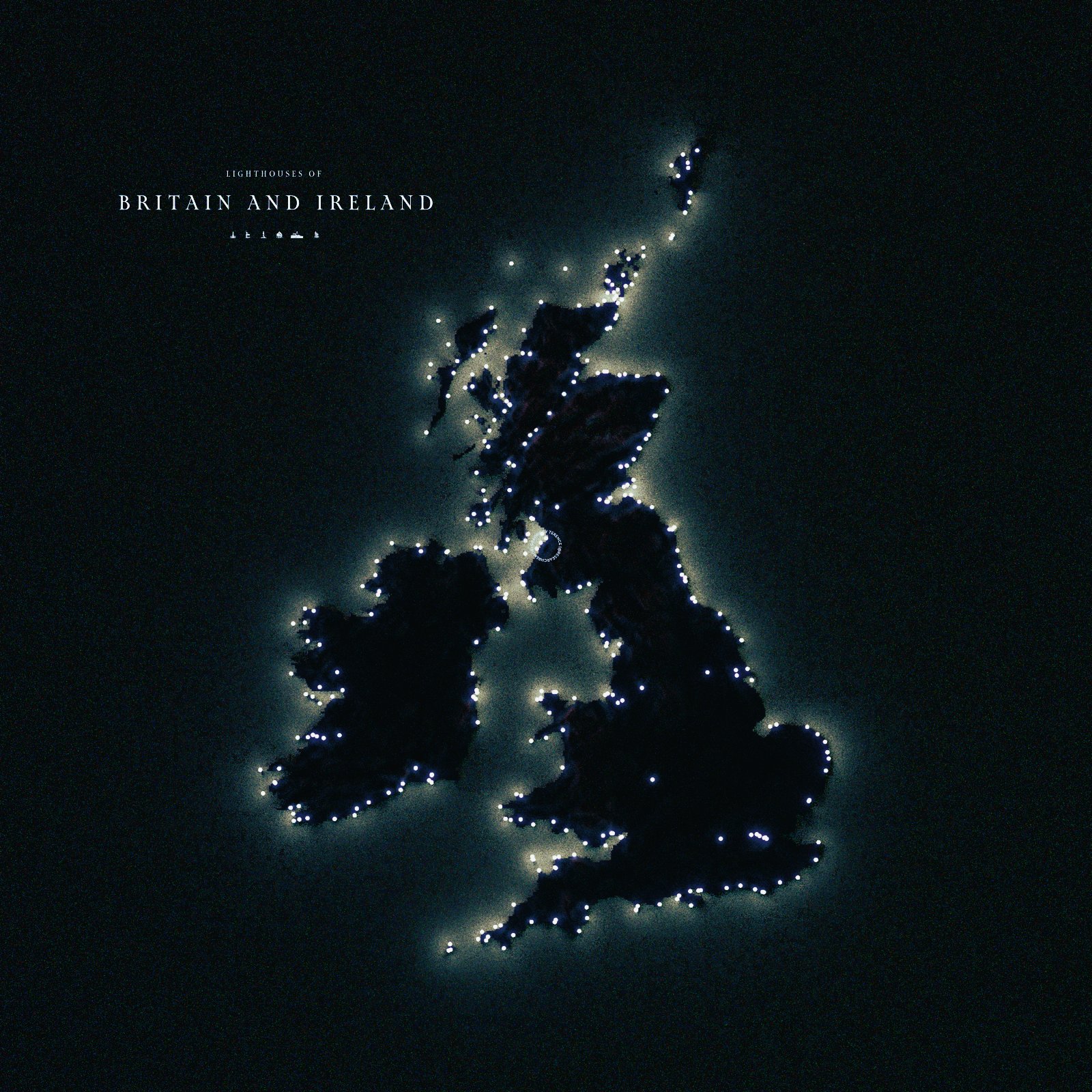
The map above showcases the lighthouses that are scattered along the coastlines of Great Britain and Ireland, each glowing like a tiny star against the dark backdrop of the sea.
These beacons of light trace the shores, forming a celestial-like pattern that mirrors the guiding role they have played for sailors throughout history and beyond.
In the whole Irish island, there are more than 50 illuminated lighthouses, and there are hundreds more of them along the British Isles.
With a dark expanse enhancing their brilliance, the illuminated points stand out, as these reveal the intricate web of lighthouses that have long safeguarded these waters for everyone that passes them.
If you found this map enlightening, share it along with your friends, or post a comment below.
You May Also Like:
How Long Does It Actually Take to Learn a European Language? The FSI Has the Answer
Europe's Largest National Park Is Actually in the Amazon Rainforest
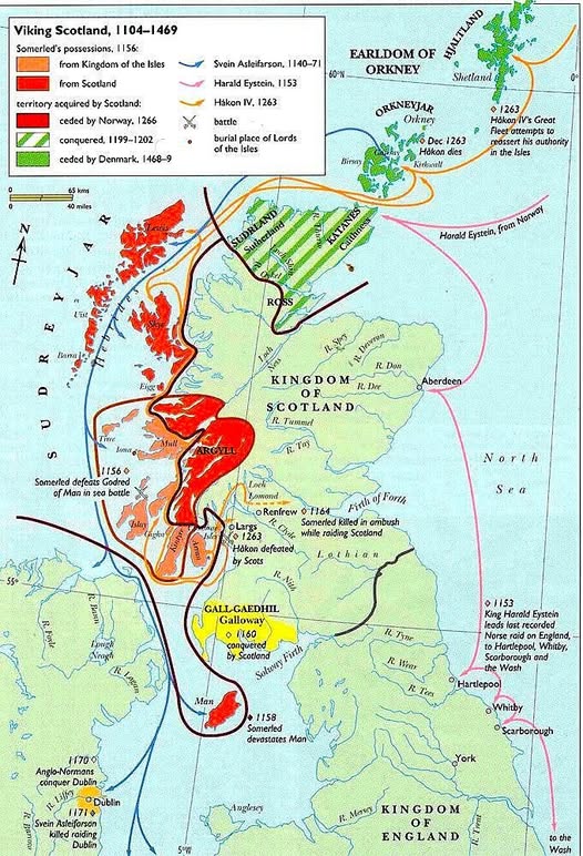
When Vikings Ruled the Scottish Isles: A Story of Sea Kings and Shifting Borders

How One Little Root Conquered the World's Languages
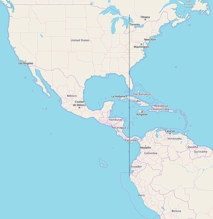
All of Continental South America Is Located East of Michigan

Why Russia Looks Massive But Africa is Actually Much Larger: The Mercator Map Distortion Explained
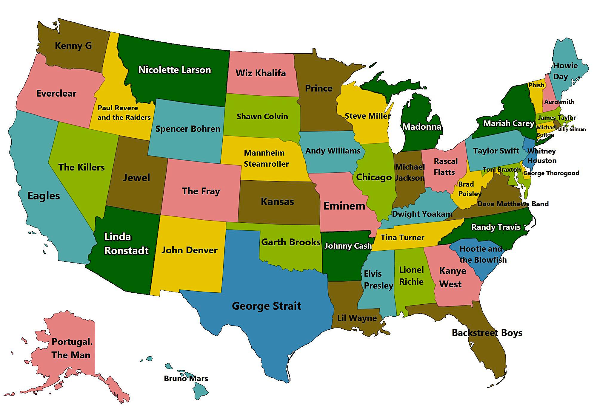
America's Musical Money Map: The Highest-Grossing Artists From Every State