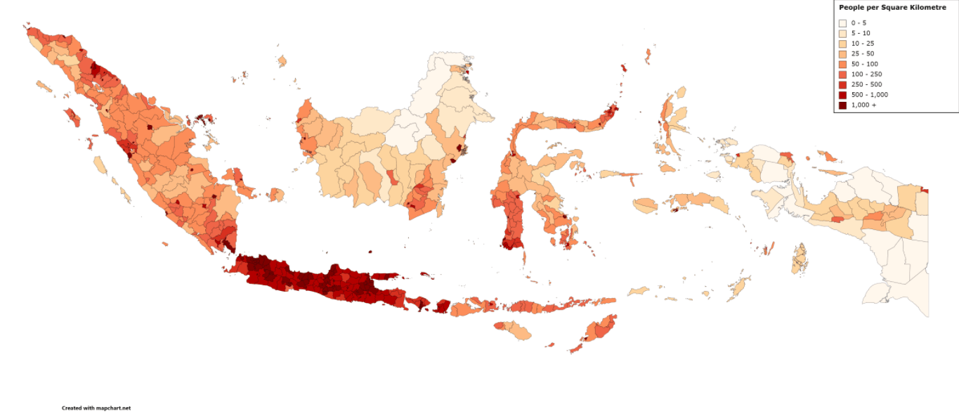
This is a map of Indonesia. Each area is highlighted according to its number of people per square kilometer (sq km).
High-density areas, marked by dark shades of red, are scattered throughout the country. The southern island of Java has the most areas with dense populations. Java is where the country’s capital, Jakarta, is located, and is one of the many areas with more than 1,000 people per sq km.
In fact, Java is “the most populated island [in] the world”, states Reddit user u/TomsDiners, with about 152 million people living on the island. In addition, the neighboring Sumatra is the fourth-most populous island, housing 58 million inhabitants.
Areas with a lower concentration of people include those in Kalimantan (Borneo) and Irian Jaya (western New Guinea).
Help us out by sharing this map:
You May Also Like:
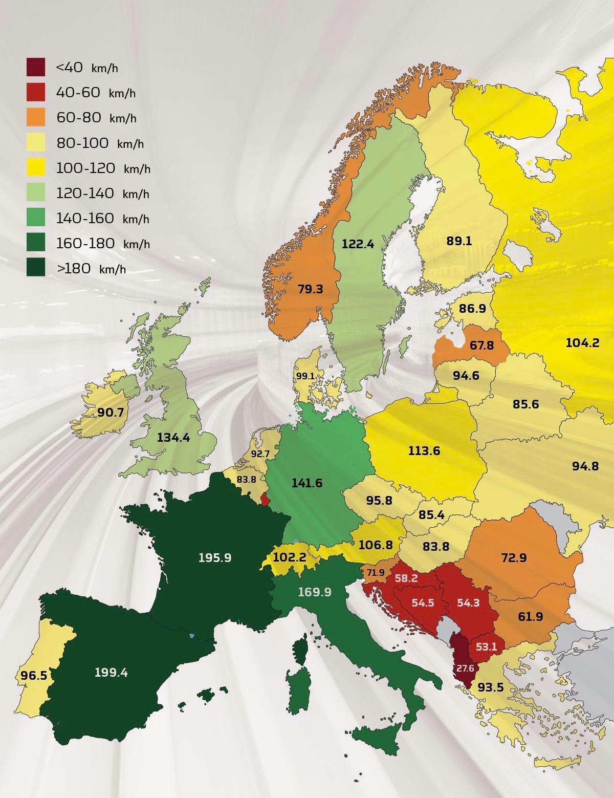
Why Your Train to Paris Flies While Your Train to Belgrade Crawls: A European Rail Speed Reality Che...
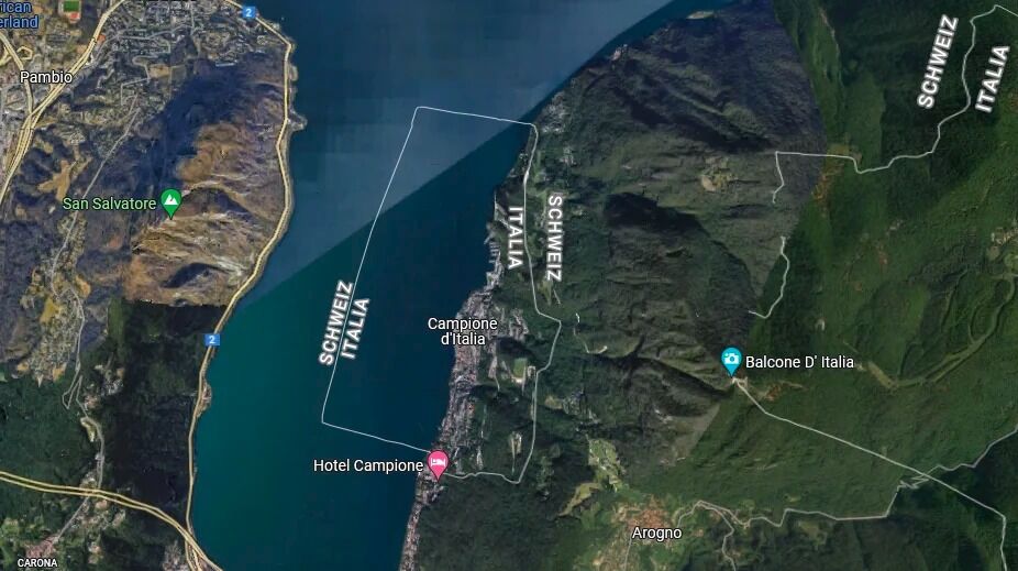
The Tiny Piece of Italy Hiding Inside Switzerland
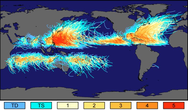
World Map: Earth's Hurricanes Never Cross the Equator

France's Longest Border Isn't Where You Think: A Geography Surprise
The Invisible Fallout: How Cold War Nuclear Tests Left a Radioactive Fingerprint Across America

The Staggering Human Cost of World War II Across Europe
America's Musical Money Map: The Highest-Grossing Artists From Every State
1 thought on “Indonesia Population Density Map”