
This is a map of Romania, a country in southeastern Europe. On the map, Romania’s landforms are colored like the country’s flag. The lowlands are in blue and the high mountains are in red. Areas with a 250 to 500-meter elevation, such as plains and plateaus, are marked in yellow.
According to Romania Tourism, part of the Carpathian Mountains range can be found in Romania. It is the reverse L-shaped red area on the map, in the central part of the country. Three separate ranges divide the mountains, and they consist of different terrain. The mountains can also be enjoyed by those who wish to do fun mountain-related activities, in addition to skiing.
Britannica notes that the highest peaks in Romania are Mounts Moldoveanu and Negoiu. Each of them is standing at over 8,000 feet (about 2,500 meters) above sea level. Both of them are located within the Southern Carpathians, also known as the Transylvanian Alps.
Help us out by sharing this map:
You May Also Like:

What's Really Across the Ocean? The Surprising Geography That Will Change Your Beach Day Forever
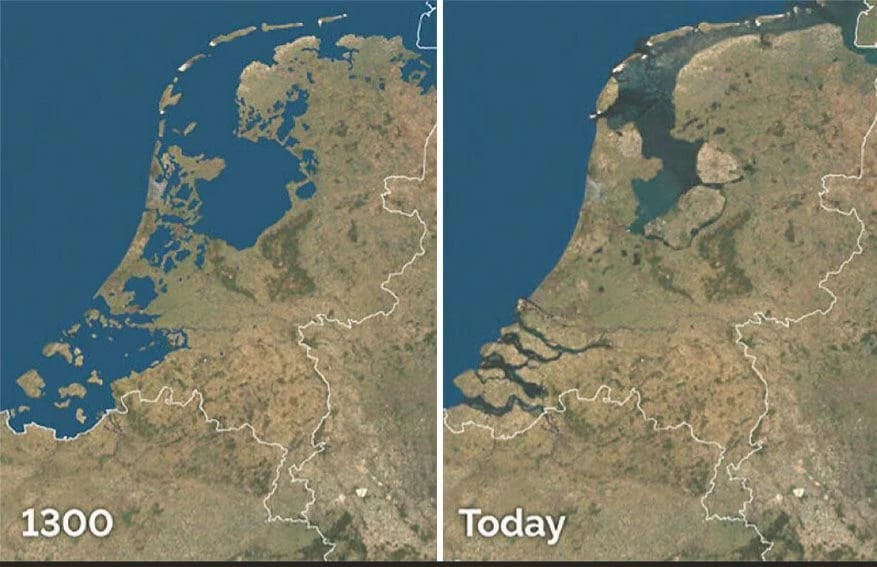
How the Netherlands Built Land From the Sea: 700 Years of Engineering Marvel

When Rome Ruled the World: A Journey Through History's Greatest Empire

The Highland Tapestry: Exploring Scotland's Ancient Clan Territories
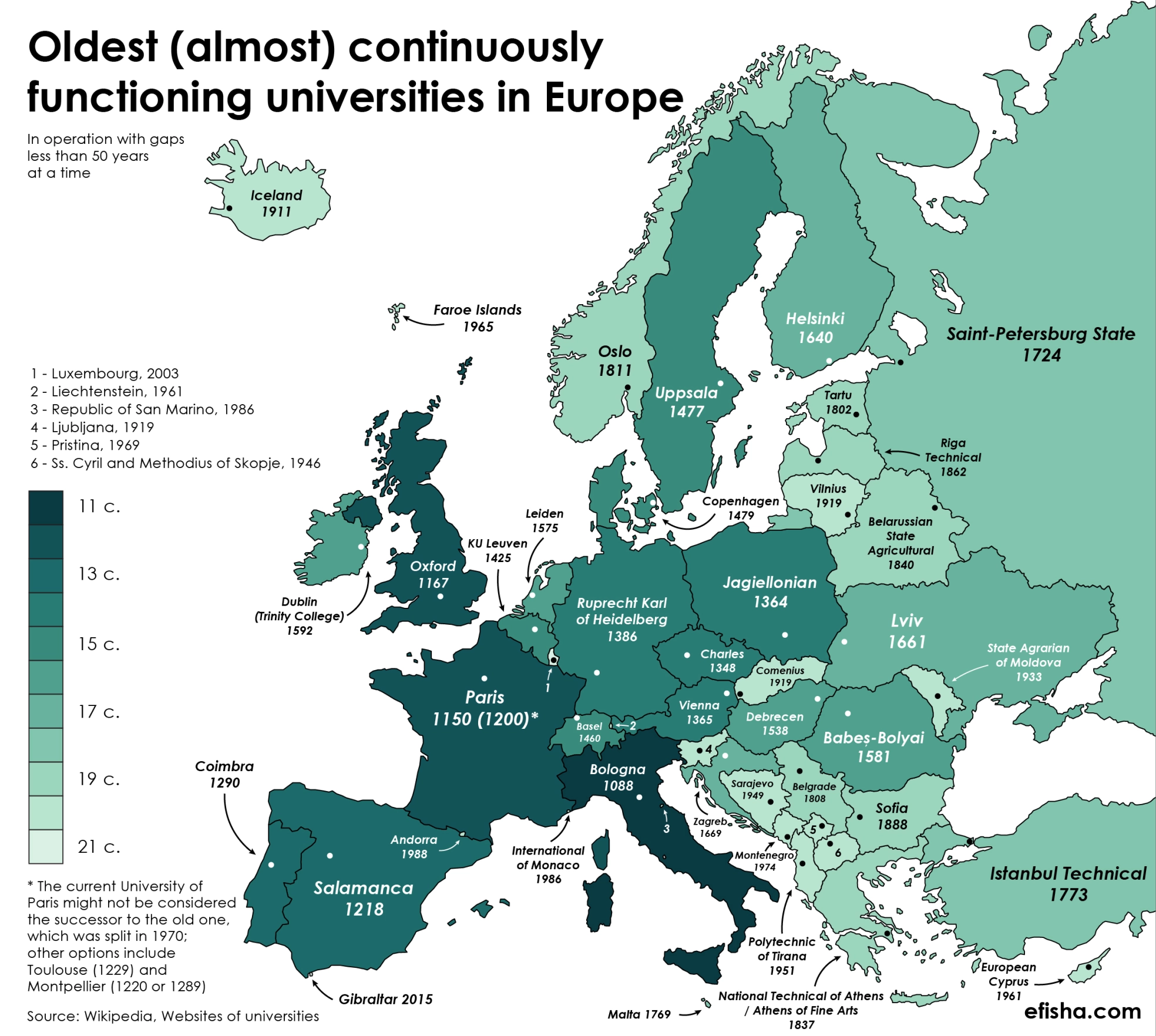
Europe's Oldest Universities Map: Where They Still Thrive Today
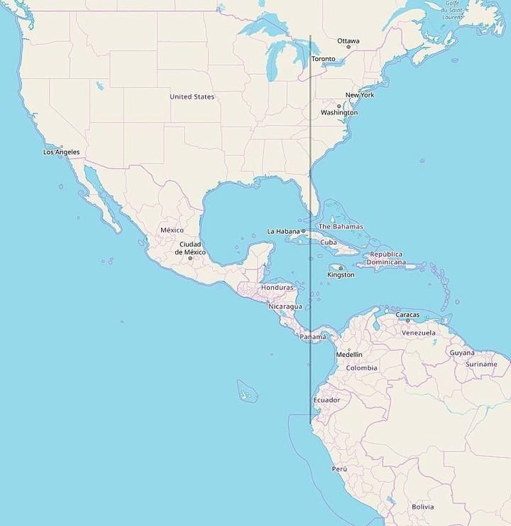
All of Continental South America Is Located East of Michigan

The Staggering Human Cost of World War II Across Europe
1 thought on “Romania Shaded Relief Map”