
This is a map of Vietnam, where it is shaded according to the colors of the country’s flag. The lowlands are marked in red, and the high areas are in yellow.
The U.S. Library of Congress notes that the socialist state contains “tropical lowlands, hills, and densely forested highlands” with highlands in the north and some high areas as well in the south. The Vietnamese embassy in the U.S. adds that nearly all of the Vietnamese land has an elevation of 1,000 meters below sea level or lower, and high mountains only account for one percent of the nation.
The Fansipan mountain peak, located in the northwest near the Chinese border, is the country’s highest peak. It stands at 3,143 meters (10,312 feet) above sea level, according to Britannica.
Help us out by sharing this map:
You May Also Like:
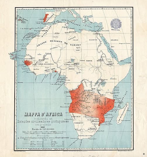
Portugal's Audacious Plan to Slice Africa in Half: The Pink Map of 1881
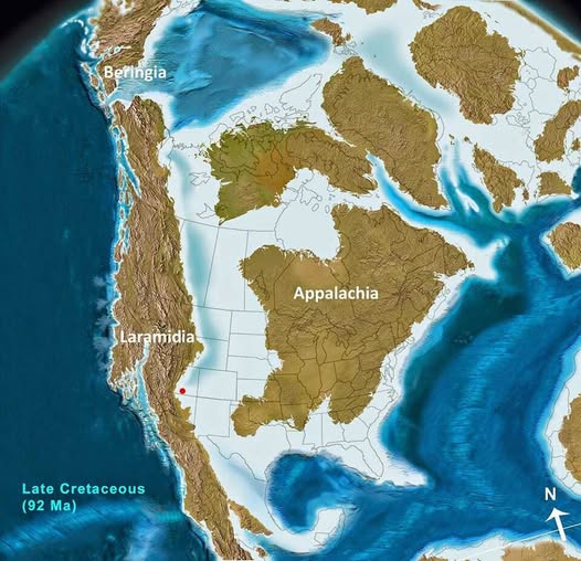
When North America Was Two Islands: The Forgotten World of the Late Cretaceous
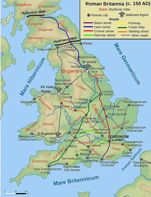
Roads, Legions, and Lost Tribes: Roman Britain at Its Peak

When France Ruled Half of North America: The Forgotten Empire of New France in 1750
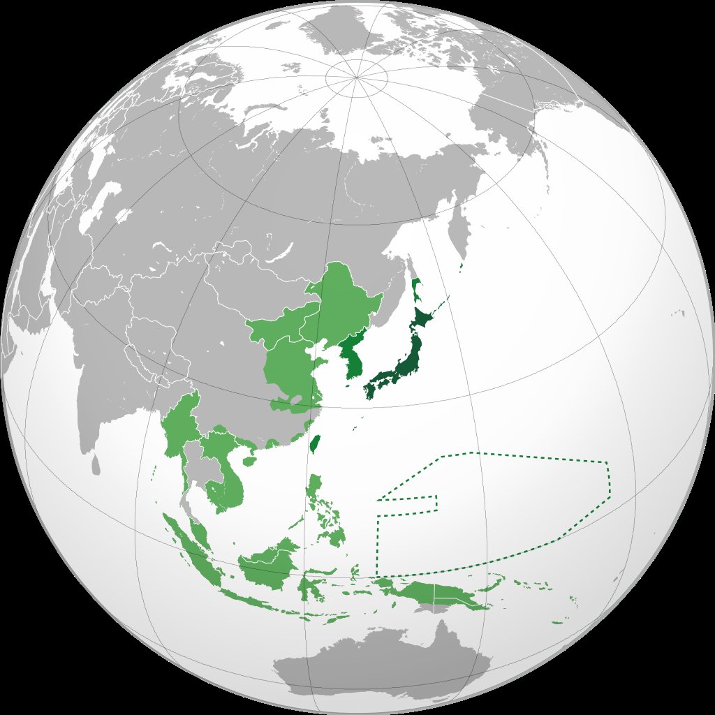
The Japanese Empire at Its Peak: Understanding the 1942 Pacific Dominance
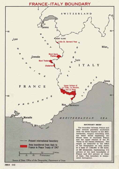
How Italy Lost a Slice of the Alps: The 1947 Peace Treaty Boundary Shift

America's Musical Money Map: The Highest-Grossing Artists From Every State

2 thoughts on “Vietnam Topographic Map”