
Map found on Reddit
When we think about European capitals, we often imagine them as equals on the continental stage. But this fascinating map reveals a truth that might surprise you: these cities vary dramatically in their physical footprint.
From the compact charm of Vatican City to the vast expanse of Moscow, Europe’s capitals tell a story about history, geography, and urban development.
Size Doesn’t Always Mean Influence
Looking at this visualization, Moscow dominates the eastern portion with its enormous urban area. The Russian capital sprawls across more territory than several Western European capitals combined.
Yet size doesn’t directly translate to political or economic influence. Luxembourg, barely visible on this map, punches well above its weight in European finance and governance.
London and Paris occupy substantial space in Western Europe, reflecting centuries of growth as imperial and cultural powerhouses. But notice how cities like Kyiv and Budapest also command impressive footprints, reminding us that Eastern European capitals have their own stories of expansion and development.
Geography Shapes City Limits
The differences you see aren’t random. Geographic constraints play a huge role in determining urban boundaries.
Athens sprawls across its Mediterranean basin, while mountainous terrain limits expansion for cities like Bern and Vaduz. Coastal capitals like Lisbon and Helsinki spread along their waterfronts, creating distinctive urban patterns.
Island cities face unique challenges. Reykjavik stretches across its available land, while cities built on rivers like Vienna and Belgrade developed along natural corridors. These geographic realities shaped not just the size but the character of each capital.
Population Density Tells Another Story
Here’s where things get interesting: a large urban area doesn’t necessarily mean more people. Moscow’s vast footprint houses roughly 12 million residents, but Paris packs nearly 11 million into a much smaller space. The difference lies in density, building height restrictions, and urban planning philosophies that evolved over centuries.
Cities like Amsterdam and Copenhagen appear modest in size yet maintain a high quality of life through efficient land use. Meanwhile, newer capitals or those that experienced rapid 20th-century growth often spread outward rather than upward, creating the suburban sprawl visible in this comparison.
What This Means for Travelers
If you’re planning European travels, this map offers practical insights. A weekend in compact Amsterdam means you can explore much of the city on foot or on bicycle. Moscow, however, requires strategic planning and substantial time on the metro to experience different districts.
Understanding urban scale helps set realistic expectations. You can’t see London in a day, but you might cover most of Luxembourg City in an afternoon. Each capital rewards visitors differently, and knowing their physical scope helps you plan accordingly.
The beauty of Europe lies partly in this diversity. Whether you prefer the intimate streets of smaller capitals or the endless exploration possibilities of sprawling metropolises, this continent offers both extremes and everything in between.
Help us out by sharing this map:
You May Also Like:
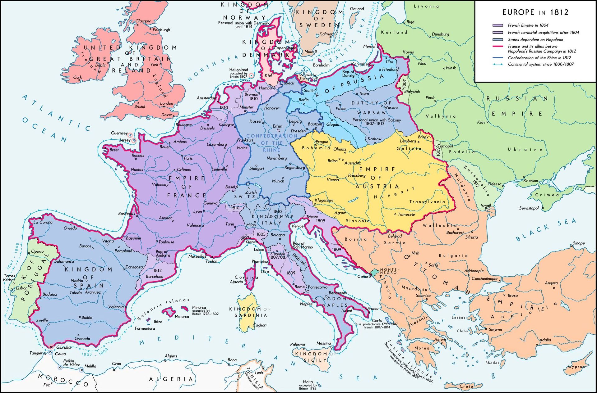
Napoleon's Europe: When One Man Nearly Redrew the Entire Map

The Surprising Truth: Most US States Have Fewer People Than Los Angeles County

When New York Was Young: The County Map That Captured a State in Motion
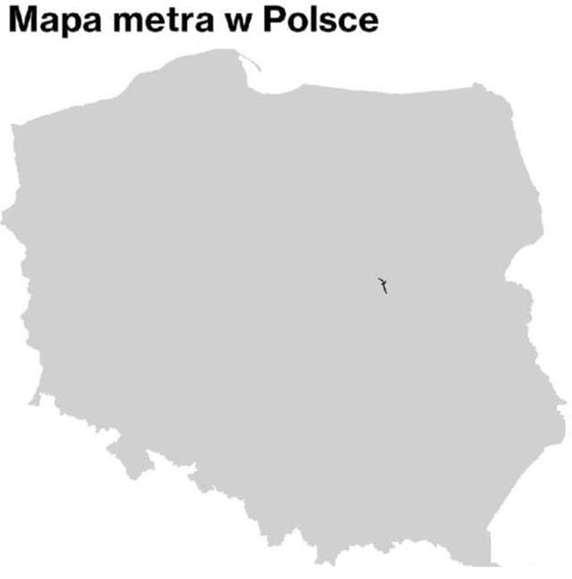
Why Poland Has Only One Metro System (And It's All in Warsaw)

The Nobel Peace Prize Nominations: A Look at Which Countries Are Backing Trump's Bid
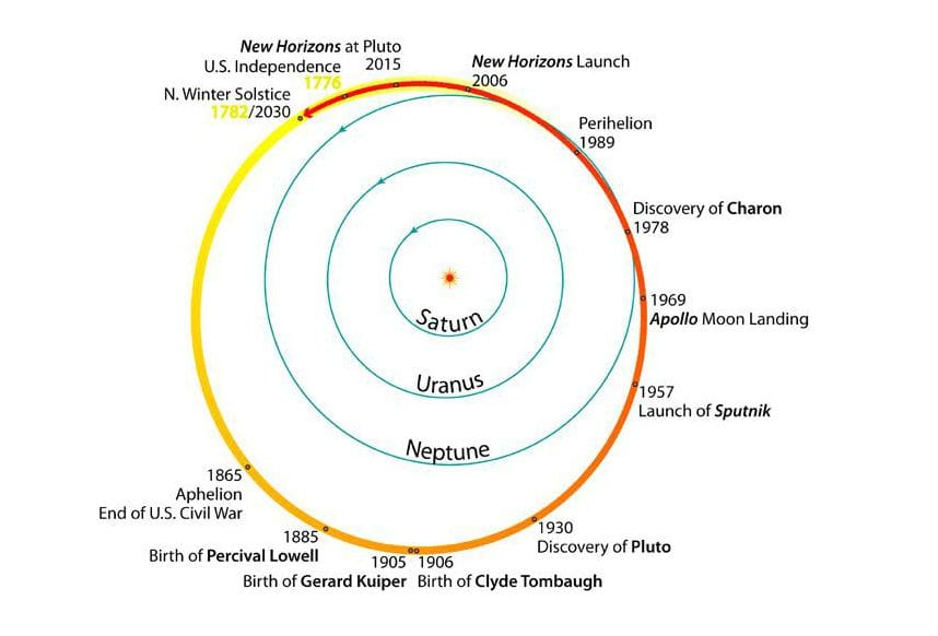
America's Entire History Fits Inside One Trip Around the Sun: A Cosmic Perspective on Pluto's Orbit
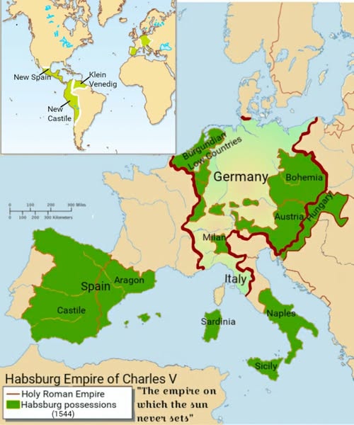
When One Man Ruled Half the World: The Habsburg Empire of Charles V
