
The maps on this page show how Chile’s landmass compares with parts of Europe and the United States.
You’ve probably heard that Chile is a really long country. But did you know that it’s basically unbeatable in terms of vertical stretchiness? This South American nation spans a jaw-dropping 4,270 kilometers (2,653 miles) from top to bottom.
But here’s the kicker: while Chile is out here breaking length records, it’s also rocking a super-slim profile. At its widest point, it’s only 350 km (217 mi) across, and on average, it’s a mere 177 km (110 mi) from east to west. Think of it as the supermodel of countries—tall, lean, and impossibly stylish.

Want to see just how extraordinary this is? Check out these mind-blowing comparisons:
- Chile vs. Europe: Rotate Chile slightly, and it’s like it’s giving Europe a run for its money in the length department.
- Chile vs. the USA: Flip Chile on its side, and it stretches from coast to coast like it’s trying to hug the entire country.
These eye-popping visuals were whipped up using the True Size Of Maps tool.
Enjoyed viewing these maps? Share it with a friend or leave a comment below!
You May Also Like:
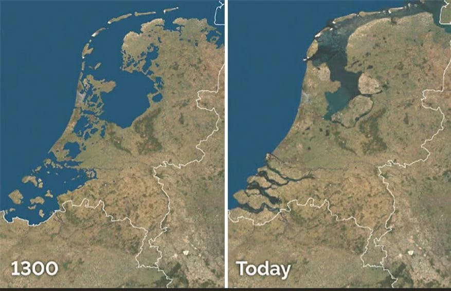
How the Netherlands Built Land From the Sea: 700 Years of Engineering Marvel

World Map: Google Street View vs. Apple Look Around

Where Speed is Born: The Geographic Secrets Behind the World's Fastest 10,000m Runners
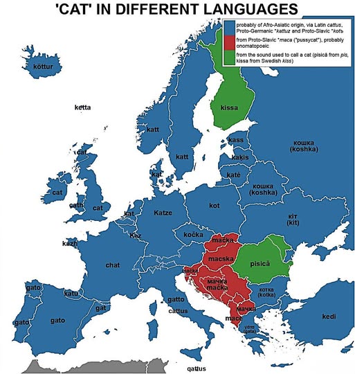
Why Does Every European Language Have a Different Word for Cat?

England's Musical Map: The Artists Who Put Each County on the World Stage
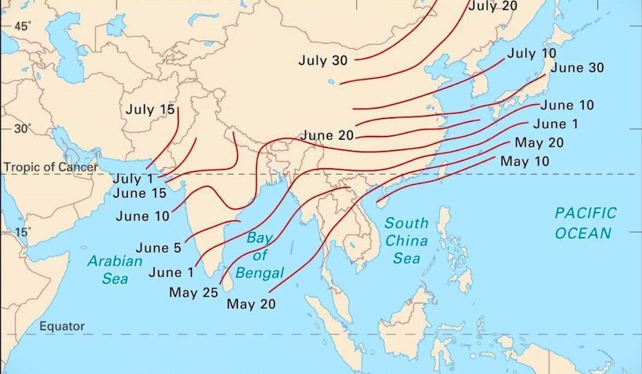
Chasing the Monsoon: How Asia's Life-Giving Rains March Across a Continent
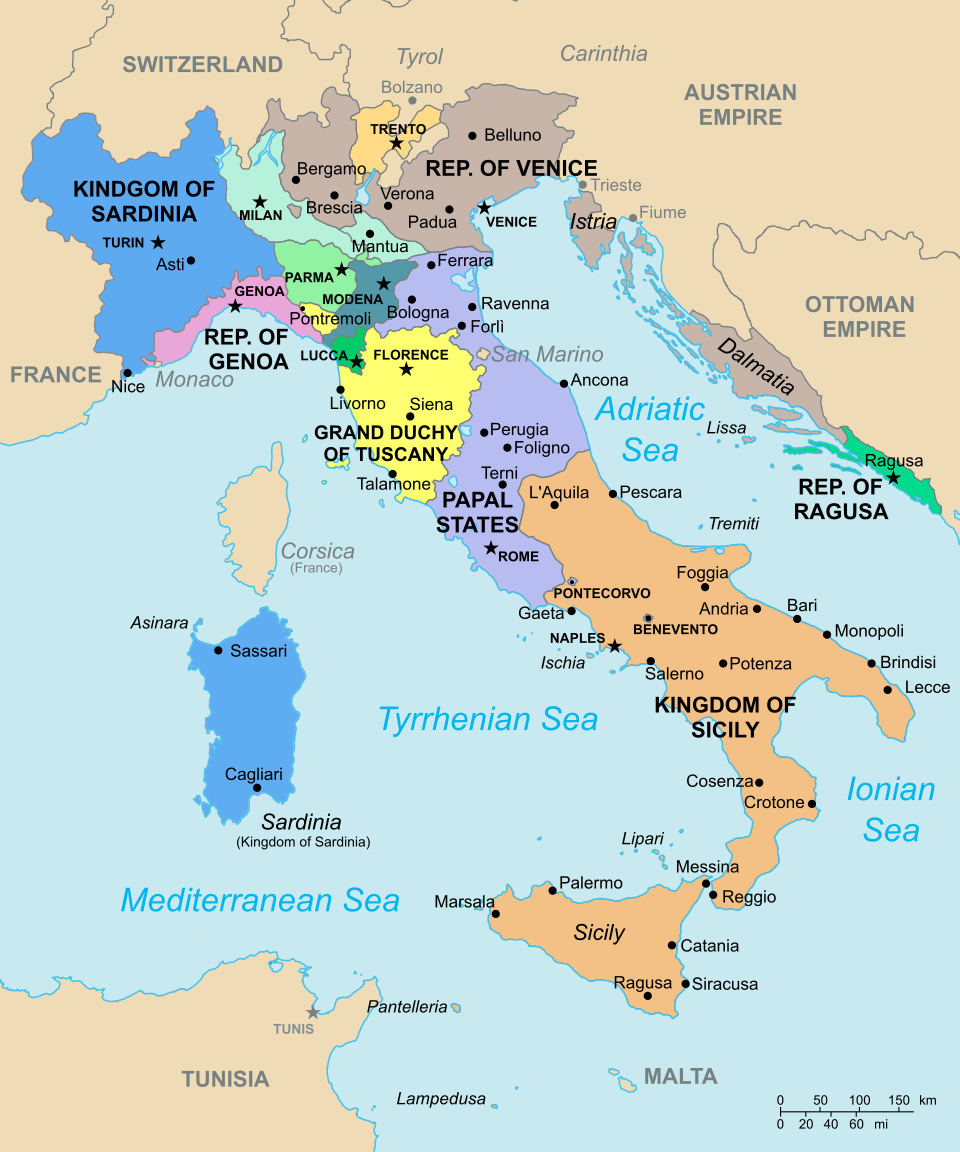
Italy Before Unity: A Patchwork Peninsula in 1796

1 thought on “Chile Compared to Europe & U.S. Map”
Comments are closed.