
The map above is that of the Netherlands made in a fun and satirical way, indicating each area’s stereotypes, created by the country’s very own Atlasova.
The capital city of Amsterdam belongs to the area marked as “The Netherlands,” which could mean the area that best represents the country, especially to outsiders.
In the case of the other major cities of the country:
- The Hague, where the International Court of Justice is located, is ironically in an area called “European cocaine hub” and bordered by the “German enclave”.
- Rotterdam is in the “Tulip fields” area.
- Utrecht is part of the “Bible belt” field.
In other areas, the West Frisian Islands at the top of the map are the so-called “New natural gas fields”, except for the island of Texel, which is said to be “Ruined by Lonely Planet,” referring to the popular travel publication.
Meanwhile, the southern areas of the country are humorously labeled as “Belgian enclaves” or “Stand-by Belgians,” as these are places that are bordered by Belgium.
If you found this map interesting, leave a comment below or share it along.
You May Also Like:
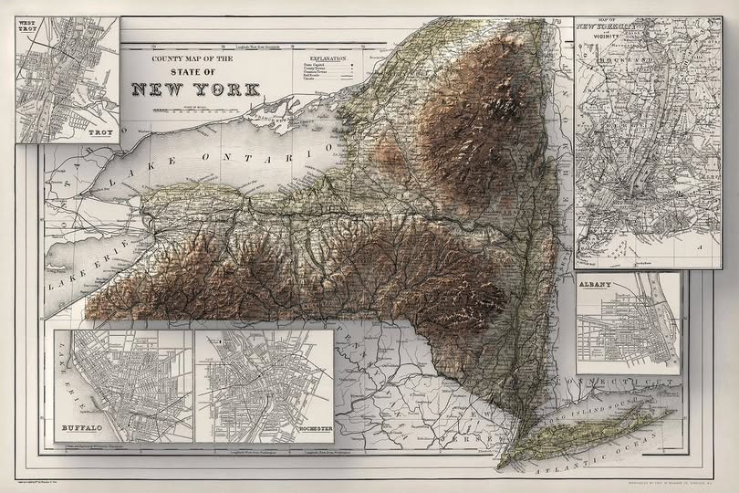
When New York Was Young: The County Map That Captured a State in Motion
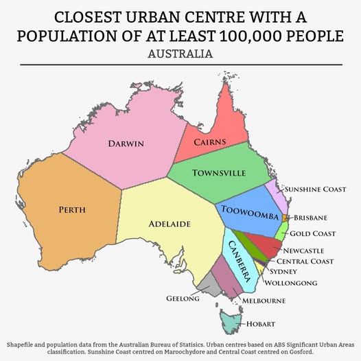
What's Your Nearest Big City? Australia's Urban Gravity Map Explained
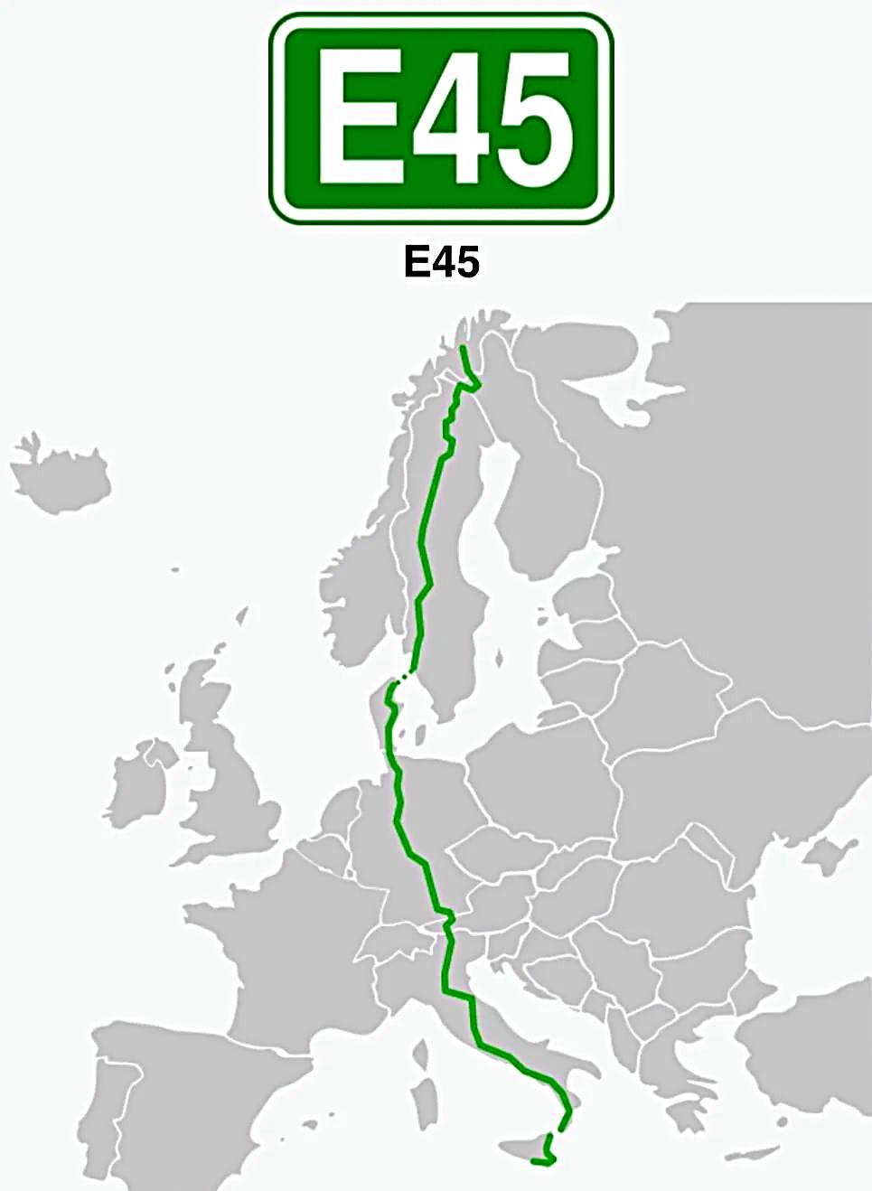
Journey Across Europe: Following the Epic E45 Route from Norway's Arctic to Sicily's Shore
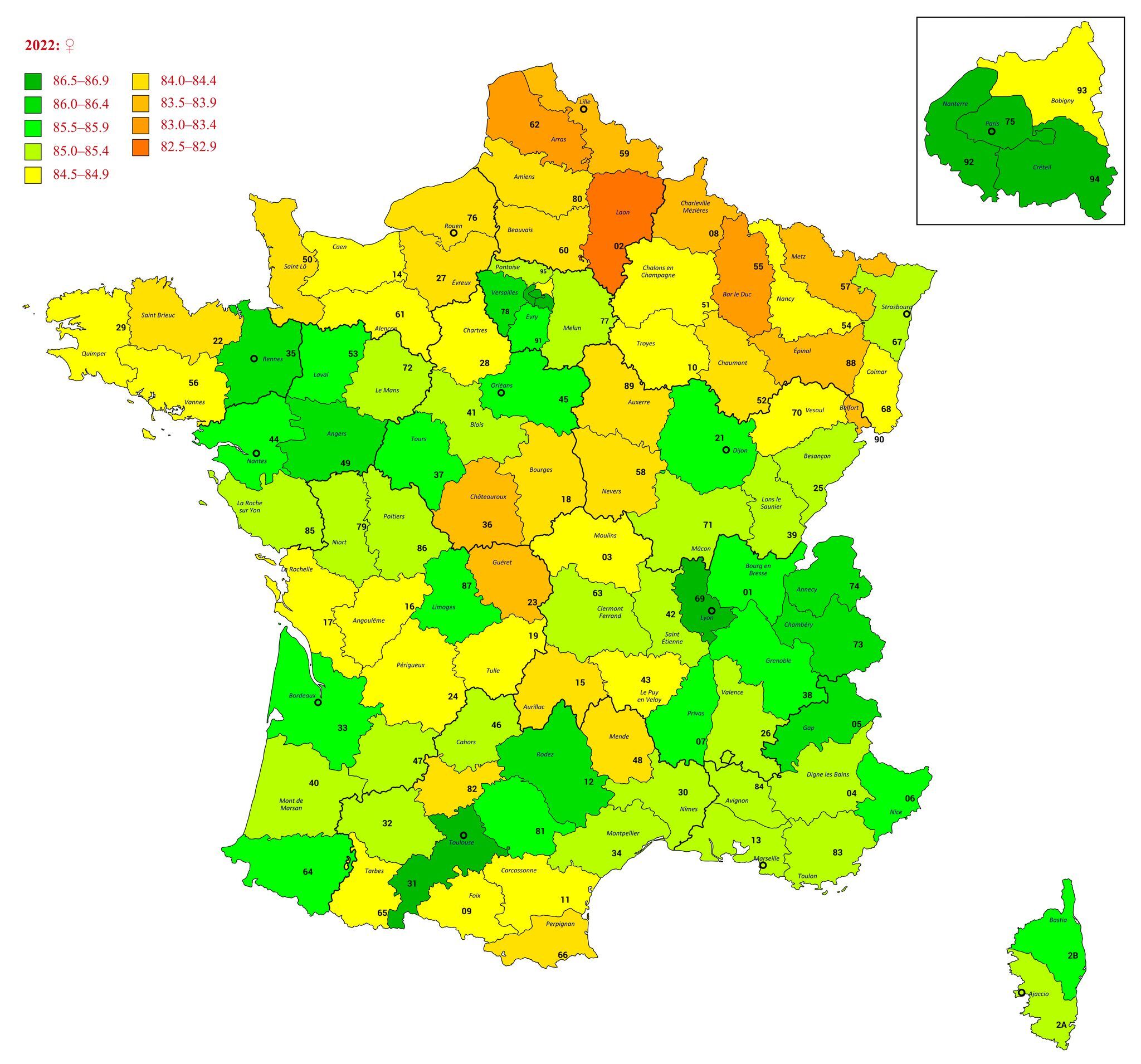
How Long Are French People Living? A Department-by-Department Snapshot of 2022 Life Expectancy
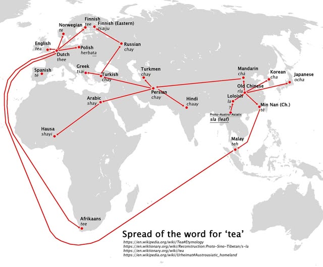
How One Word Conquered the World: The Global Journey of "Tea"
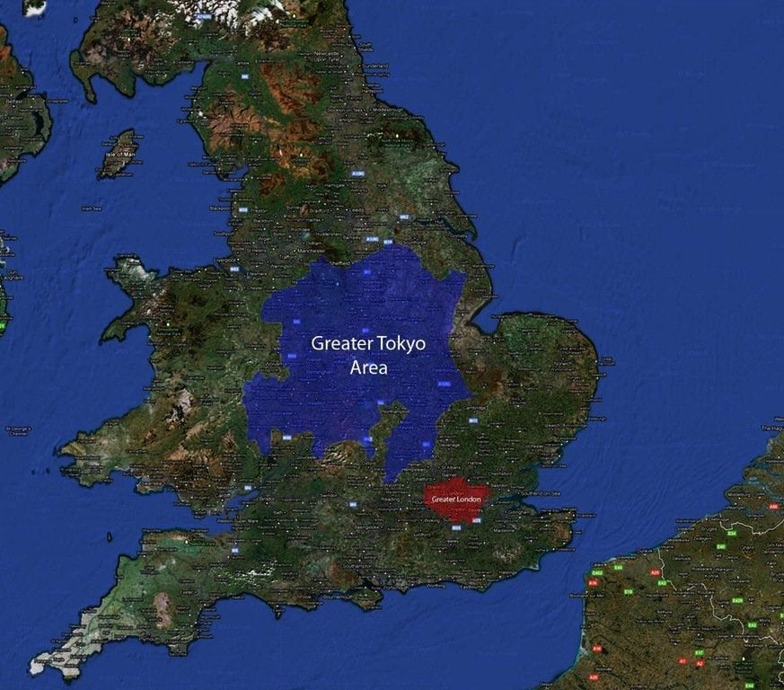
When Tokyo Could Swallow London: A Tale of Two Megacities
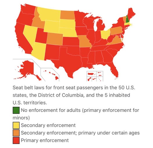
Buckle Up (Or Don't): How Seat Belt Laws Vary Wildly Across America

1 thought on “Netherlands Map: Beginner’s Map on Regional Stereotypes”
Comments are closed.