
This is a topographic map of Pakistan featuring its various landforms.
This South Asian nation has a total land area of 340,499 square miles (881,889 square kilometers), according to Britannica. The country is one of the countries in the Indian subcontinent.
Most of the country consists of high mountains and plateaus, and the latter part of the country has plains. The country’s highest point is the K2, located on its border with China. It stands at over 28,000 feet (8,600 meters), making it the world’s second-highest peak behind Mount Everest.
Help us out by sharing this map:
You May Also Like:

Ohio's Hidden Mountain Ranges: What This Stunning Elevation Map Reveals About the Buckeye State

The Staggering Human Cost of World War II Across Europe
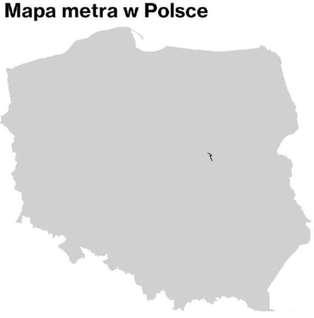
Why Poland Has Only One Metro System (And It's All in Warsaw)

Where Irish Is Still Truly Alive: What the 2022 Census Tells Us
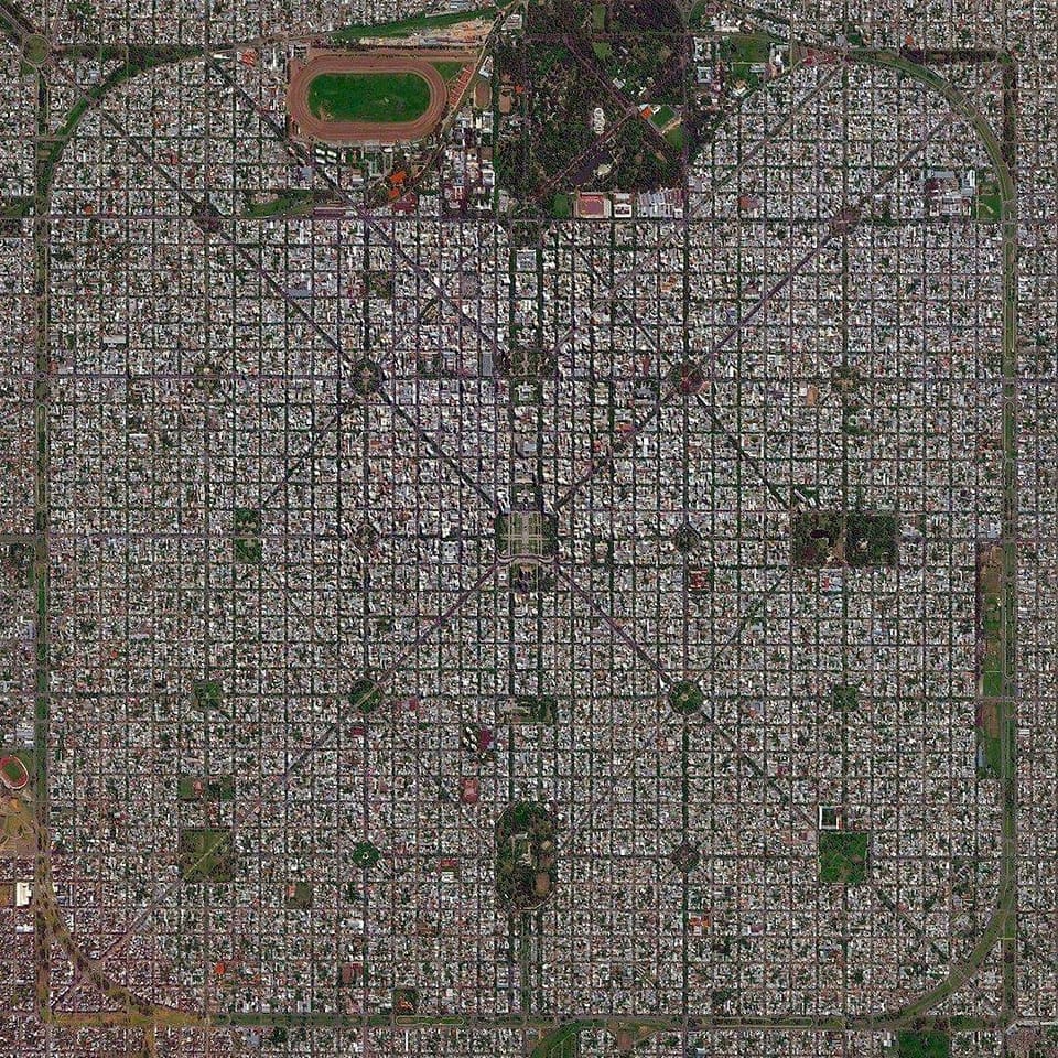
The Perfect Grid: Why La Plata, Argentina Looks Like a Giant Chessboard from Space
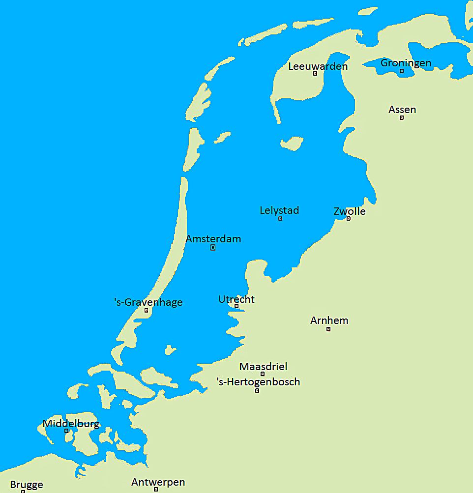
When the Sea Reclaims the Land: The Netherlands Without Its Famous Dikes
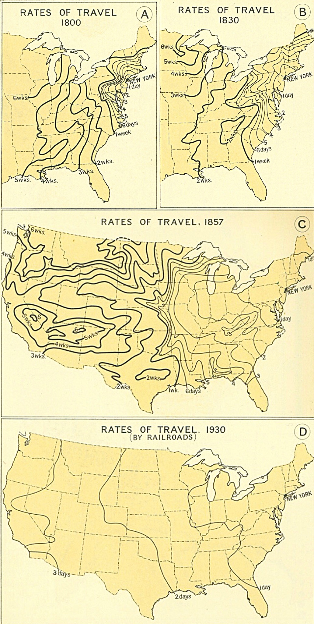
How America Got Faster: The Amazing Shrinking of Travel Time from 1800 to 1930
Thanks for sharing. I read many of your blog posts, cool, your blog is very good.
Your point of view caught my eye and was very interesting. Thanks. I have a question for you.
Your article helped me a lot, is there any more related content? Thanks!
Thank you for your sharing. I am worried that I lack creative ideas. It is your article that makes me full of hope. Thank you. But, I have a question, can you help me?
Thanks for sharing. I read many of your blog posts, cool, your blog is very good.
Can you be more specific about the content of your article? After reading it, I still have some doubts. Hope you can help me. https://accounts.binance.bh/es-LA/register-person?ref=VDVEQ78S
Your point of view caught my eye and was very interesting. Thanks. I have a question for you. https://accounts.binance.info/register/person?ref=IHJUI7TF