
This is a map of the Philippines relative to the habitat of the Philippine eagle (Pithecophaga jefferyi). This bird, also known as the monkey-eating eagle, is native to select parts of the Luzon island, as well as the whole of the Samar, Leyte, and Mindanao islands.
The Philippine eagle is considered the country’s national bird. Despite their “monkey-eating” name, they also hunt other different prey. They boast of many bodily features, including having a clearer vision than humans, a seven-foot wide wingspan, and sharp talons. Its species is now critically endangered because of deforestation and shooting by hunters, according to the Philippine Eagle Society.
A national law that safeguards these eagles and all other wildlife imposes a heavy fine and long prison term for those who injure or kill such animals.
Help us out by sharing this map:
You May Also Like:
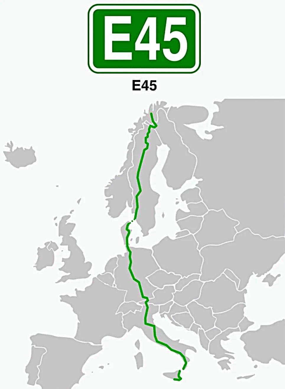
Journey Across Europe: Following the Epic E45 Route from Norway's Arctic to Sicily's Shore
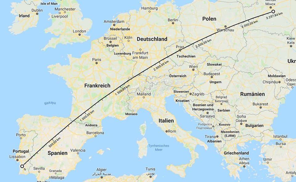
The US-Mexico Border Stretched Across Europe: A Surprising Geographic Comparison

Europe's Capital Cities: A Visual Guide to Urban Sprawl

Kiribati: The Only Nation That Exists in All Four Hemispheres
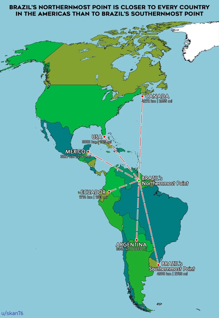
Brazil is So Massive That Its Northern Tip is Closer to Canada Than to Its Own South

When Capital Cities Steal the Spotlight: Europe's Tourism Champions

The Sky's the Limit: Exploring the World's Longest Non-Stop Passenger Flights
