
This map of the United States, entitled “Nobody Lives Here”, highlights areas in the country that are uninhabited.
The areas highlighted in green are those without people living in them. This is measured in units called blocks, defined as “the smallest area unit used by the U.S. Census Bureau for tabulating statistics”. Out of more than 11 million blocks, 4.8 million have no occupants. That’s a total of 4.6 million square kilometers or 47 percent of U.S. land.
The map’s creator, Nikolaus M. Freeman, said that areas are uninhabited due to different reasons. He says that these places are those where humans cannot normally survive, including:
- Bodies of water
- Mountains and deserts
- Wilderness protection and recreational areas
- Commercial and industrial areas
Freeman says that the East Coast of mainland U.S. has more inhabited areas (white), so the unoccupied ones are fewer and can easily be seen. The West Coast, on the other hand, has more uninhabited land, adding that “population centers stand out against the wilderness”; the same can be said for Alaska and Hawaii.
Help us out by sharing this map:
You May Also Like:
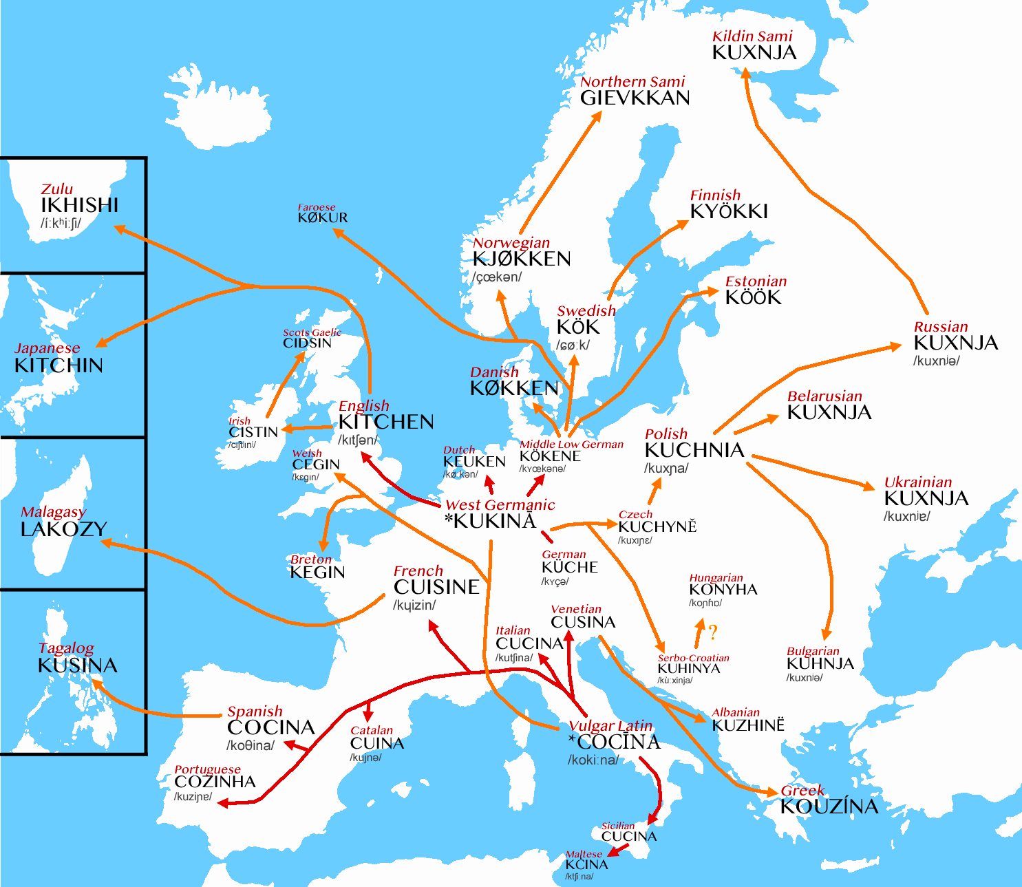
From Ancient Roman Kitchens to Modern Cuisines: How One Latin Word Spread Across Europe

Australia's Future Climate: A Mind-Bending Map of Tomorrow's Weather
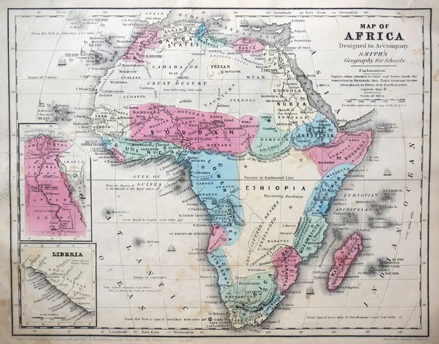
When Africa Looked Like This: A 19th Century Map That Tells a Fascinating Story

When Giants Ruled: The Roman and Mongol Empires at Their Peak
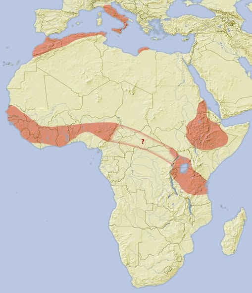
Where Do African Crested Porcupines Actually Live? The Answer Might Surprise You
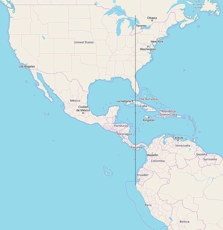
All of Continental South America Is Located East of Michigan

The Great Population Shift: Which Countries Are Shrinking in 2024?
