
This is an aerial map of the island of Sardinia, part of Italy, as seen from the International Space Station.
Sardinia, located west of the Italian mainland off the Tyrrhenian Sea, has a land area of 9,301 square miles (24,090 square meters), according to Britannica.
The island is dominantly mountainous. Its highest point is the Punta La Marmora mountain in the east, standing at 6,017 feet (1,834 meters) tall.Help us out by sharing this map:
You May Also Like:
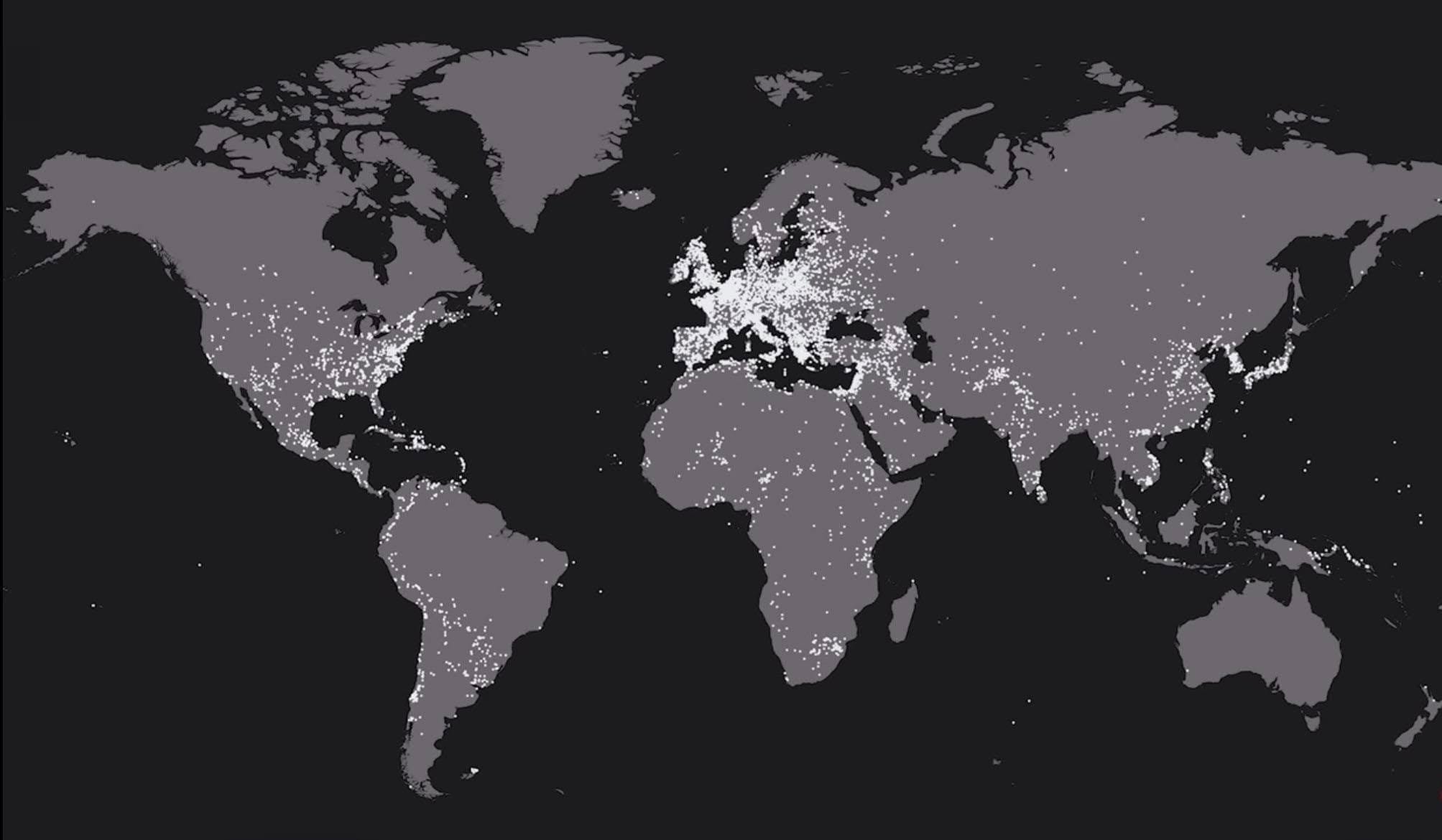
10,000 Years of Human Conflict: What This Battle Map Reveals About Our Past
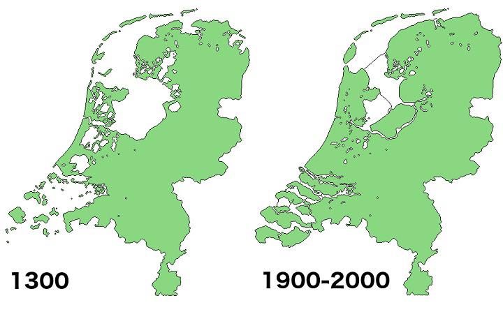
How the Netherlands Rose From the Sea: The Amazing 700-Year Transformation
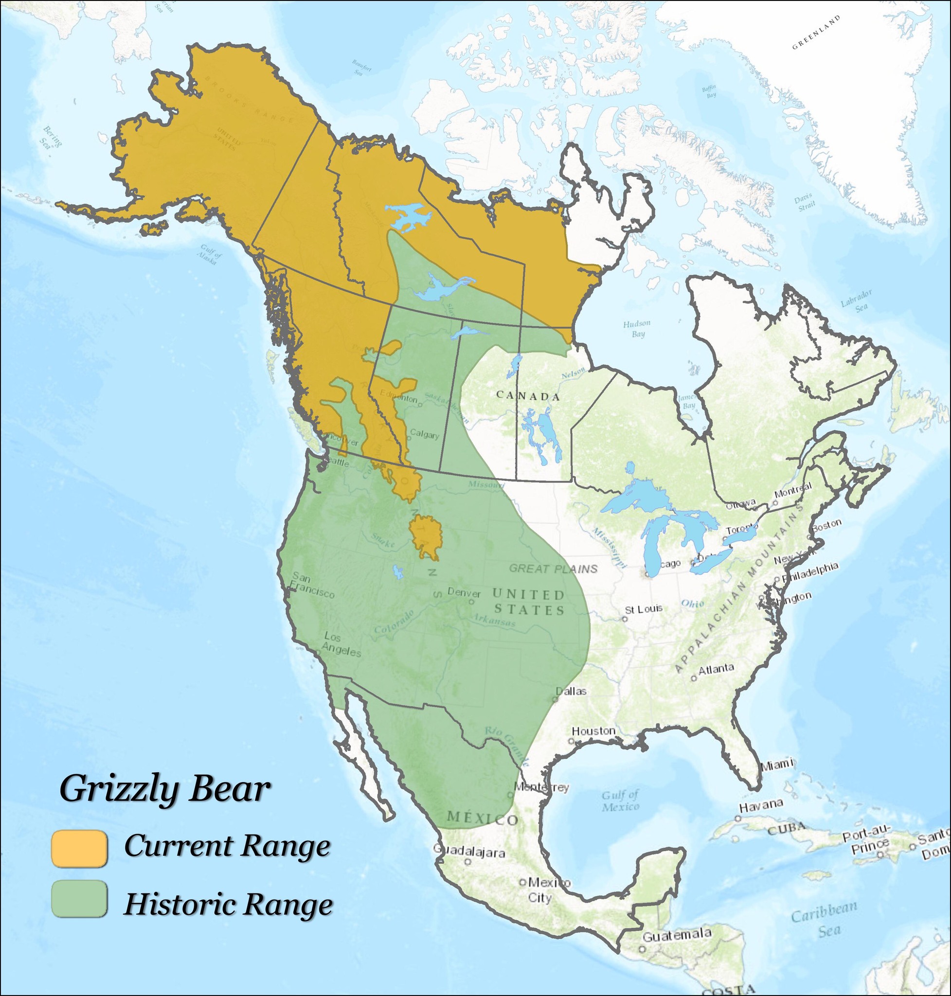
Where the Grizzlies Roam: The Dramatic Shrinking of America's Great Bear

Japan's True Size: Why the US East Coast Comparison Will Blow Your Mind

World's Domestic Air Routes Map
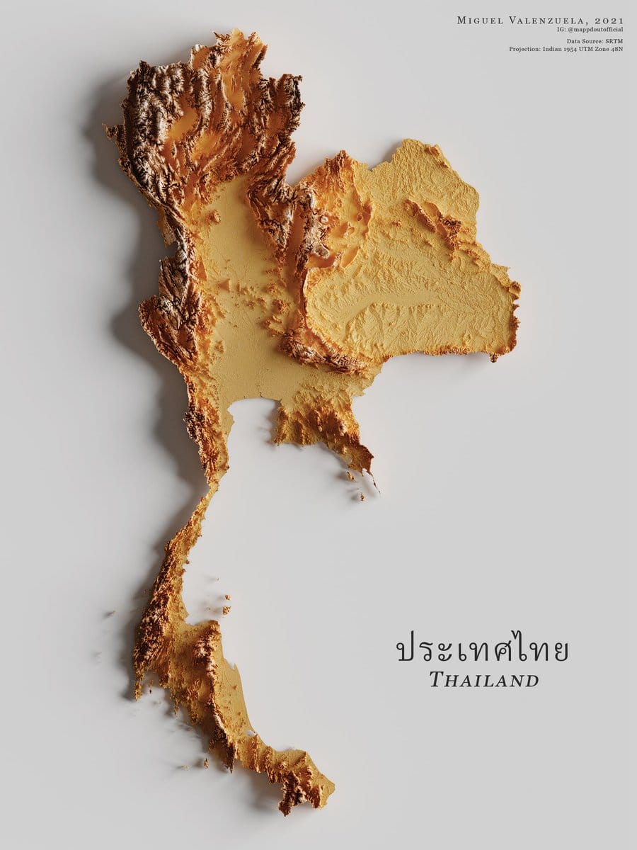
Thailand's Stunning Topographic Map Carved From Elevation Data

Europe's Green Divide: The Surprising Story of Where Trees Really Grow

Your article helped me a lot, is there any more related content? Thanks! https://accounts.binance.info/el/register?ref=DB40ITMB
Your article helped me a lot, is there any more related content? Thanks!
Your point of view caught my eye and was very interesting. Thanks. I have a question for you. https://accounts.binance.com/ro/register-person?ref=HX1JLA6Z
I don’t think the title of your article matches the content lol. Just kidding, mainly because I had some doubts after reading the article. https://www.binance.com/register?ref=QCGZMHR6
I don’t think the title of your article matches the content lol. Just kidding, mainly because I had some doubts after reading the article.
Your point of view caught my eye and was very interesting. Thanks. I have a question for you. https://www.binance.info/register?ref=IXBIAFVY