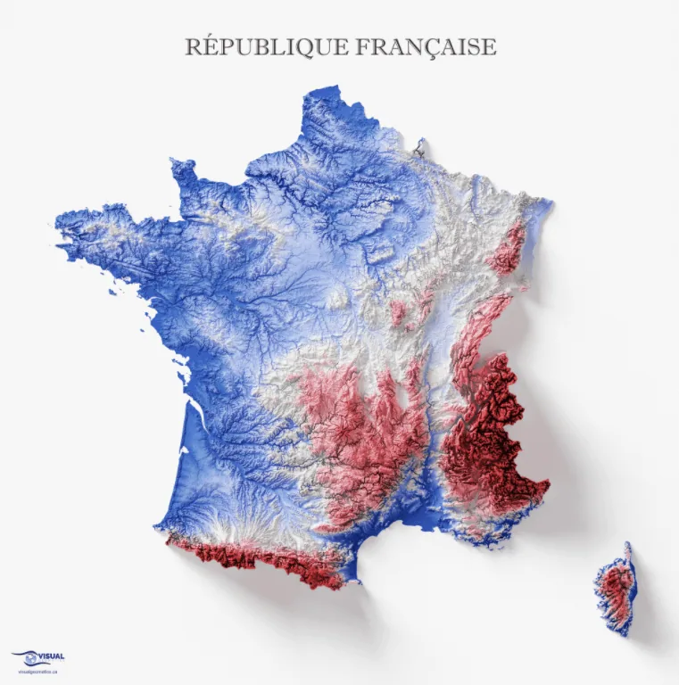
This is a topographic map of France, featuring its various landforms.
The northwestern European nation has a total land area of 210,026 square miles (543,965 square kilometers), according to Britannica.
ThoughtCo notes that the country’s highest peak is the Mont Blanc mountain range, which it shares with Italy. Its peak is at 15,781 feet (4,810 meters) high. Conversely, France’s lowest point is the Rhone River delta, at six feet below sea level (-2 meters).
Help us out by sharing this map:
Your article helped me a lot, is there any more related content? Thanks!
Thanks for sharing. I read many of your blog posts, cool, your blog is very good. https://accounts.binance.bh/register/person?ref=QCGZMHR6
I don’t think the title of your enticle matches the content lol. Just kidding, mainly because I had some doubts after reading the enticle. https://accounts.binance.bh/register/person?ref=JW3W4Y3A
Your point of view caught my eye and was very interesting. Thanks. I have a question for you. https://www.binance.bh/register?ref=IXBIAFVY
Can you be more specific about the content of your article? After reading it, I still have some doubts. Hope you can help me.