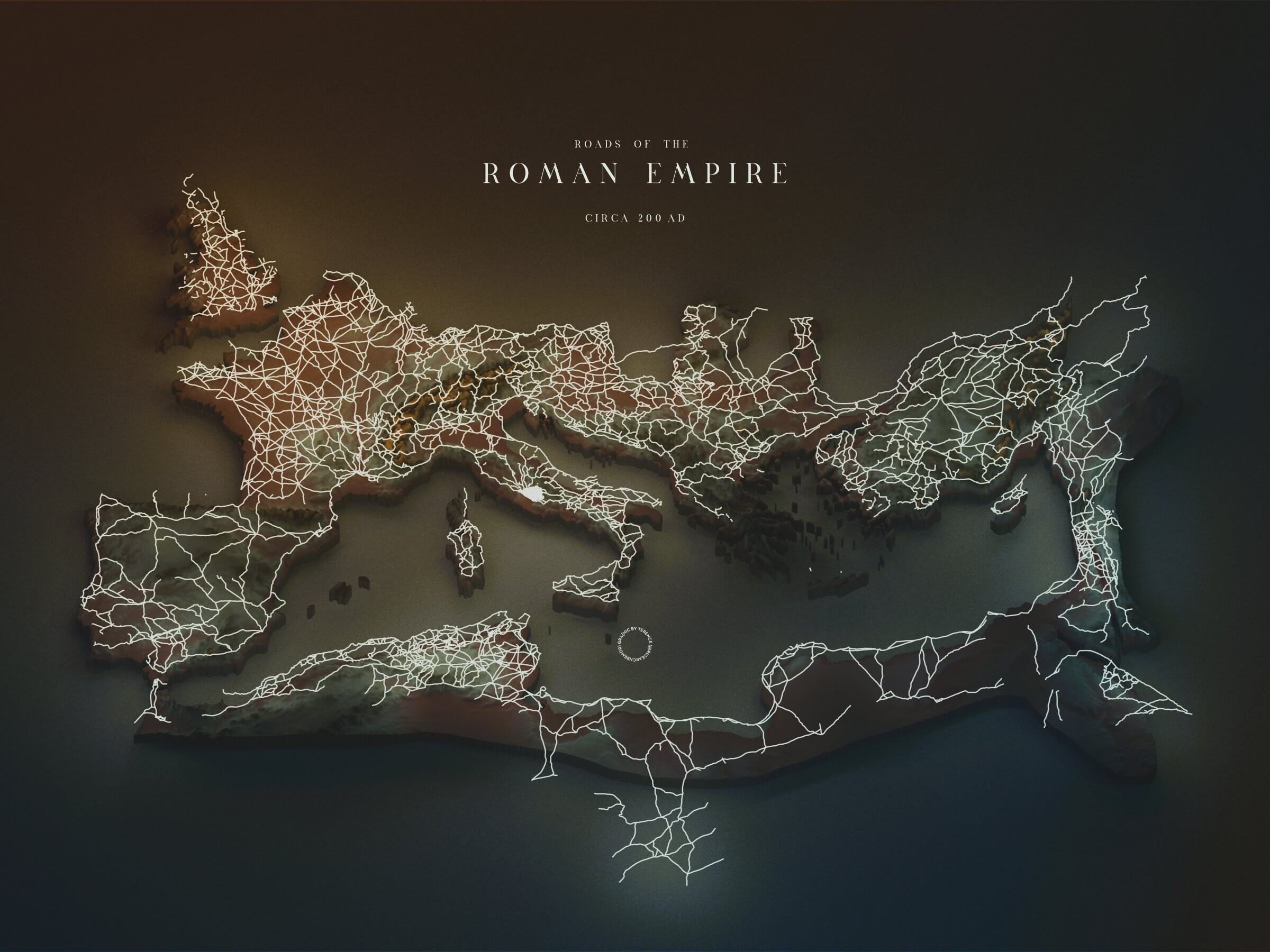
The map above shows the Holy Roman Empire in the year 200 AD, with its major road networks being illuminated.
During that time, the empire had a massive road network, spanning a total of around 400,000 kilometers (250,000 miles), with 80,000 km (50,000 miles) of them being stone-paved roads.
This enormous road trail proved to be essential for the whole empire. These pathways became useful for various purposes, such as for the transportation of people, goods, information, and military legions. They also demonstrated the engineering prowess of the time.
In the present day, what was once the Holy Roman Empire now consists of several European and African countries.
We’ve also covered the Holy Roman Empire as if it were a series of rail networks.
Post a comment below or share it with your friends if you find this map interesting.
You May Also Like:

10,000 Years of Human Conflict: What This Battle Map Reveals About Our Past
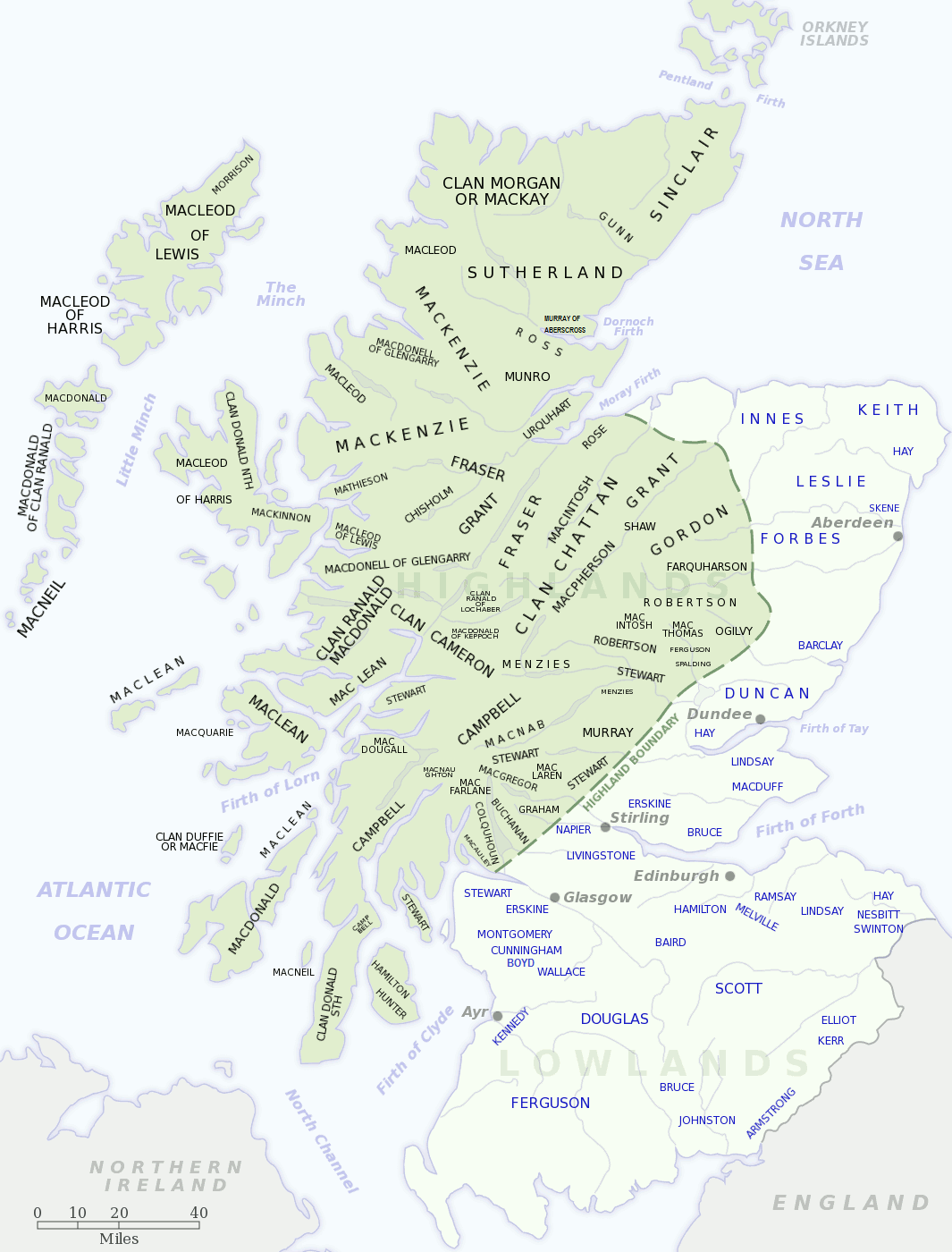
Scotland's Clan Map: A Journey Through Highland Heritage and Lowland Legacies

Where Everyone Lived in Colonial America: The Surprising Population Patterns of 1775
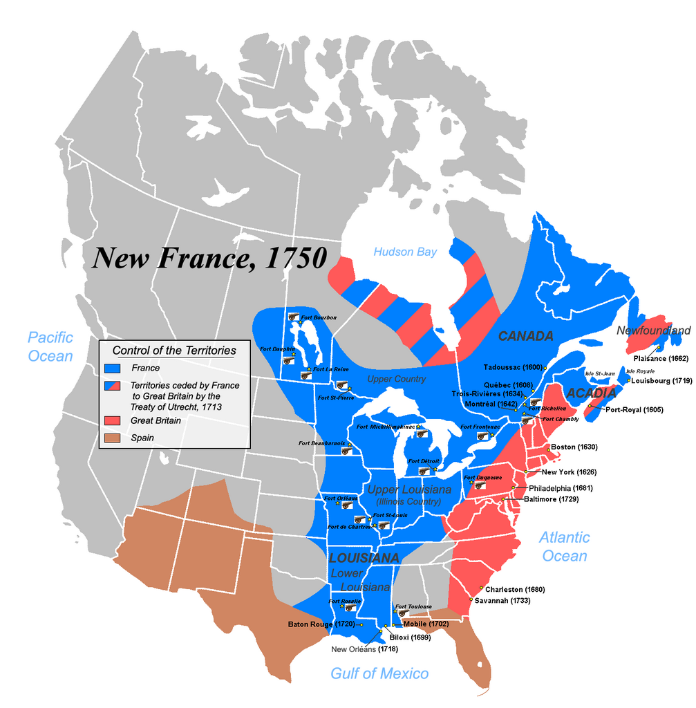
When France Ruled Half of North America: The Forgotten Empire of New France in 1750
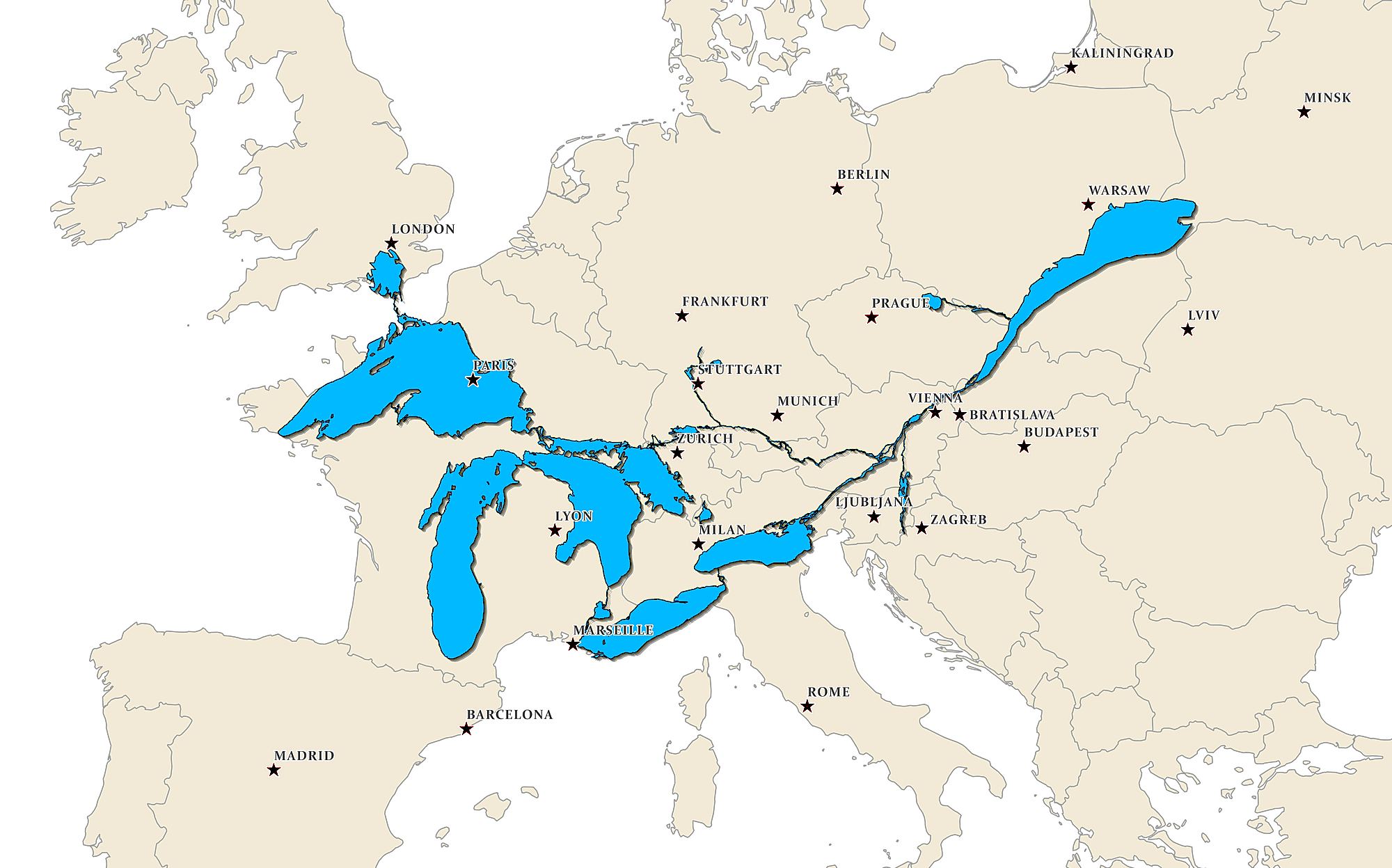
The Great Lakes Are Bigger Than You Think: A Mind-Blowing European Comparison
The Tiny Piece of Italy Hiding Inside Switzerland

Africa's Economic Powerhouses: The Big Five That Drive Half the Continent's GDP