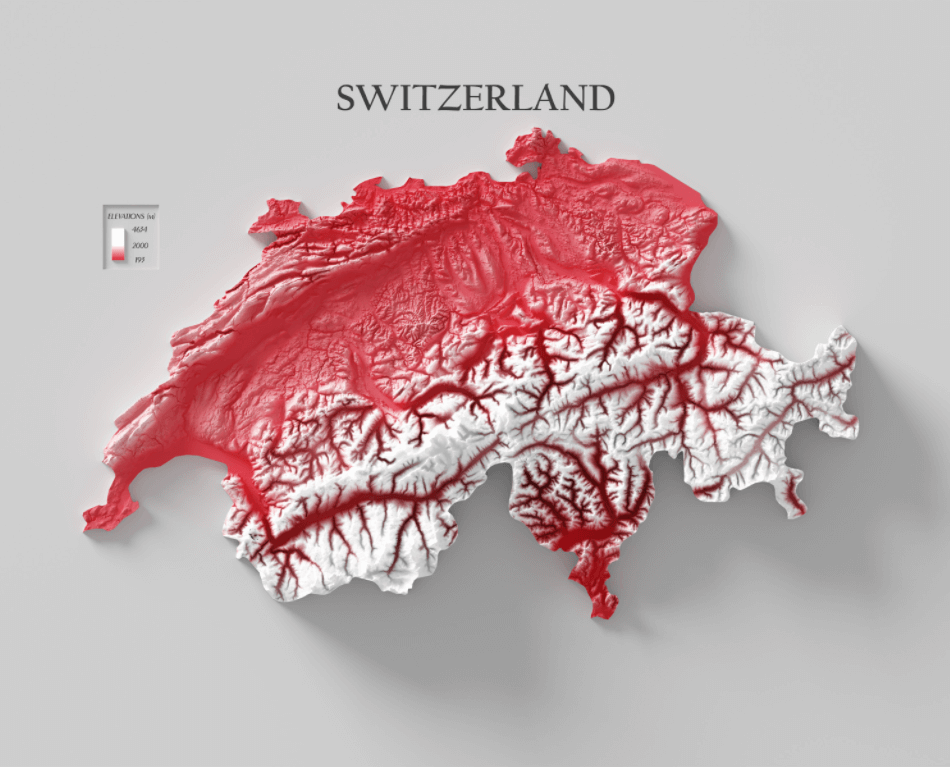
This is a map of Switzerland. This relief map is colored according to the country’s bicolor flag: the high mountains are in white, and the lowlands are in red.
ThoughtCo’s profile of the country lists several landmarks. The large white area in the south is the Swiss Alps mountain range. The smaller mountainous area in the northwest is the Jura mountains. In the central region is a “plateau with rolling hills and plains”.
Within the Alpine mountains are some of the nation’s highest peaks. Topping them is the Dufourspitze peak, which, according to Britannica, stands 15,203 feet (4,634 meters) tall. The famed Matterhorn ice sculpture, at 14,691 feet (4,478 meters) tall, is also located in the Alps.
Lake Maggiore, which the Swiss share with Italy, is the country’s lowest point, notes ThoughtCo. The lake’s elevation is just 633 feet (193 meters).
Help us out by sharing this map:
You May Also Like:
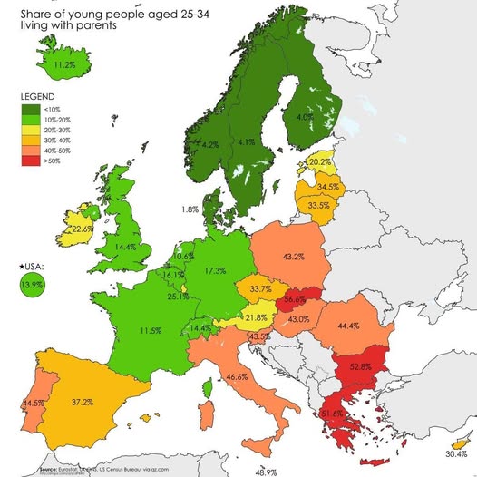
Where Europe's Young Adults Are Living With Their Parents

The Great Population Shift: Which Countries Are Shrinking in 2024?
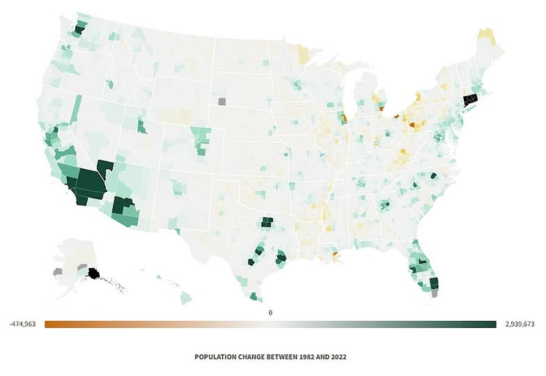
Where America Grew (and Shrank) Over 40 Years
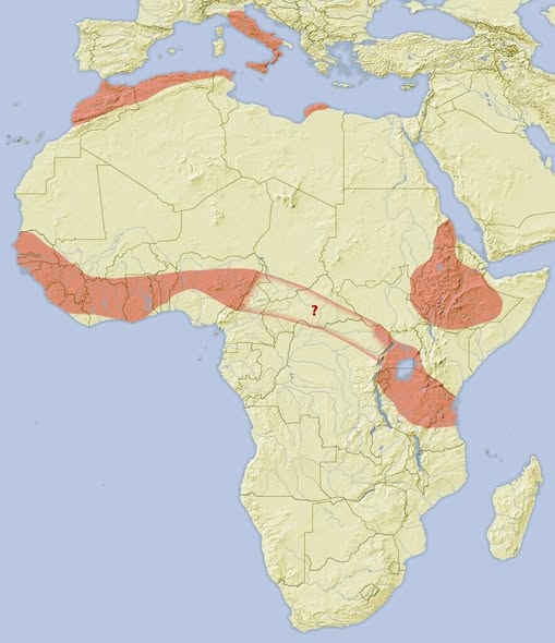
Where Do African Crested Porcupines Actually Live? The Answer Might Surprise You
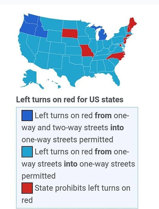
Can You Turn Left on Red? It Depends on Which State You're In

The Sky's the Limit: Exploring the World's Longest Non-Stop Passenger Flights
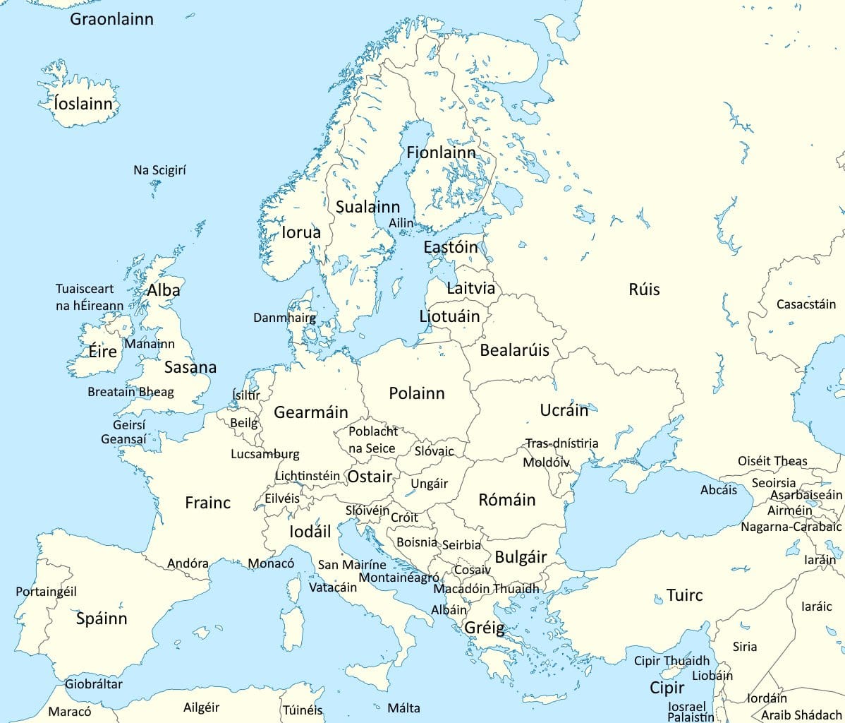
Europe Through Irish Eyes: A Journey Across the Continent in Gaeilge
3 thoughts on “Switzerland Shaded Relief Map”