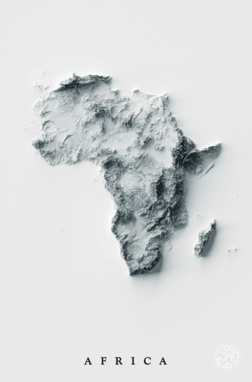
This map shows the topography of Africa, the second-largest continent in the world.
Britannica notes that the continent’s total land area measures over 11.7 million square miles (30.3 million square kilometers). It also boasts some noteworthy attractions, including the Sahara desert in the north, considered as the world’s largest desert, and the Nile River, the continent’s longest river and one of the world’s longest rivers.
Africa has plenty of highly-elevated areas, particularly in the central, eastern, and southern regions. The continent’s highest point is Mount Kilimanjaro in Tanzania, standing at 19,341 feet (5,895 meters) tall, according to National Geographic.
Help us out by sharing this map:
You May Also Like:
America's Musical Money Map: The Highest-Grossing Artists From Every State

When the World Was Still Being Discovered: Herodotus and His 450 BC Map
The Ottoman Empire's Dramatic Collapse: From Regional Superpower to Turkish Heartland
Rupert's Land: The Massive Hidden Watershed That Was Once Owned by a Single Company
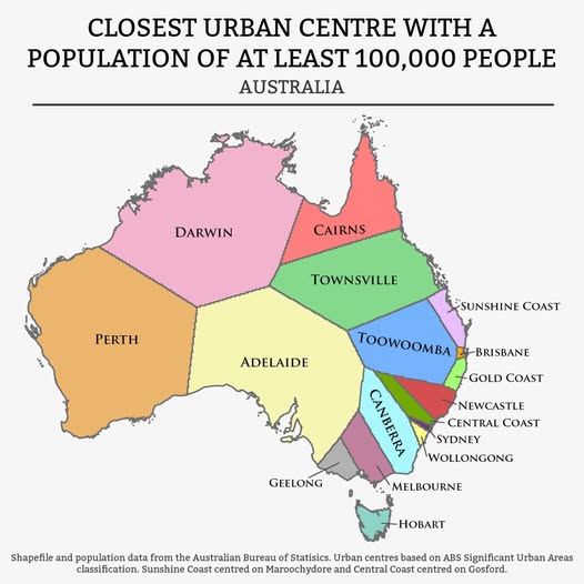
What's Your Nearest Big City? Australia's Urban Gravity Map Explained
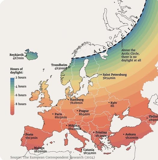
Europe's Winter Daylight Gap: Why Some Cities Get Barely Four Hours of Sun
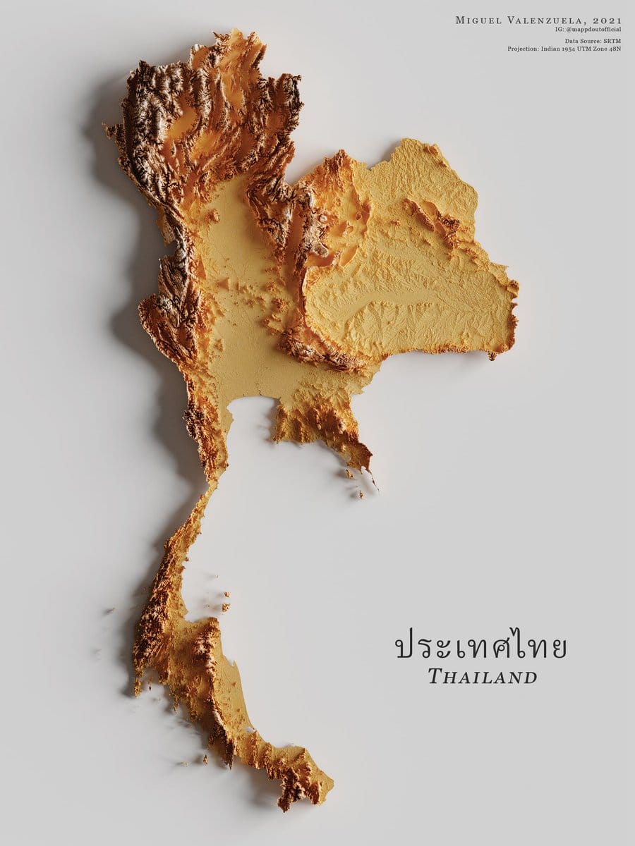
Thailand's Stunning Topographic Map Carved From Elevation Data
Thank you for your sharing. I am worried that I lack creative ideas. It is your article that makes me full of hope. Thank you. But, I have a question, can you help me?
Thanks for sharing. I read many of your blog posts, cool, your blog is very good.
Can you be more specific about the content of your article? After reading it, I still have some doubts. Hope you can help me.
Thanks for sharing. I read many of your blog posts, cool, your blog is very good.
Can you be more specific about the content of your article? After reading it, I still have some doubts. Hope you can help me.
Your article helped me a lot, is there any more related content? Thanks!