Map from The Washington Post
You’re standing on a beach in California, staring at the Pacific Ocean, and someone casually mentions that China is straight across the water. Except it’s not. Not even close.
This fascinating map reveals what’s actually on the other side when you look out from various coastlines around the world. Spoiler alert: your geographical assumptions are probably wrong.
The California Reality Check
If you’re on the West Coast of the United States, you might assume you’re facing toward Asia. And you’d be partially right, but the specific country directly across? Japan. Not China.
The curvature of Earth and the actual alignment of continents mean that most of the California coastline points straight toward the Land of the Rising Sun.
Head down to Southern California, and you’ll find yourself aimed more toward the Philippines and Malaysia. Geography doesn’t follow our mental shortcuts.
East Coast Surprises
The Atlantic side offers equally counterintuitive revelations. New Yorkers and Bostonians often imagine Europe sitting directly across their ocean view. But look at the map: you’re actually facing a whole lineup of countries from Portugal and Spain down through Morocco and Western Sahara.
Florida’s east coast? You’re looking at Africa, specifically countries like Mauritania and Senegal. Miami’s beach view aims you toward the Sahara, not the Mediterranean beaches you might picture.
The Australasian Perspective
Australia’s situation gets really interesting.
The western coast faces the vastness of the Indian Ocean with Africa beyond. But southeastern Australia, including major population centers, points toward South America. Sydneysiders are technically facing Chile and Argentina when they hit the beach.
New Zealand’s positioning creates an almost perfect alignment with Chile, making these two countries unlikely geographical cousins across the Pacific.
Why This Matters Beyond Trivia
Understanding what’s actually across the ocean isn’t just cocktail party fodder. It shapes everything from historical trade routes to modern telecommunications infrastructure.
Those undersea internet cables connecting continents? They follow these actual geographical relationships, not our mental maps.
The map also reveals why certain cultural and economic connections developed the way they did. The Philippines’ strong ties to Latin America through centuries of the Manila Galleon trade route make perfect sense when you see how the Pacific actually connects these regions.
The Takeaway
Next time you’re at the beach, take a moment to really consider what lies beyond that horizon. The Earth is round, continents are positioned at unexpected angles, and the ocean connects places in ways that don’t match our flat map assumptions.
Geography is humbling that way. We think we understand the layout of our planet, but a simple question like “what’s across the ocean?” reveals how much our mental maps need updating. The next time someone confidently declares what’s on the other side of their ocean view, you’ll know better.
And maybe, just maybe, you’ll appreciate the vastness and complexity of our world a little bit more.
Help us out by sharing this map:
You May Also Like:
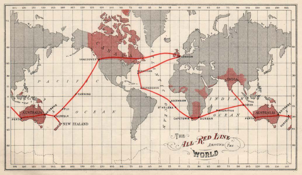
The All Red Line: How Britain Wired the World in 1902
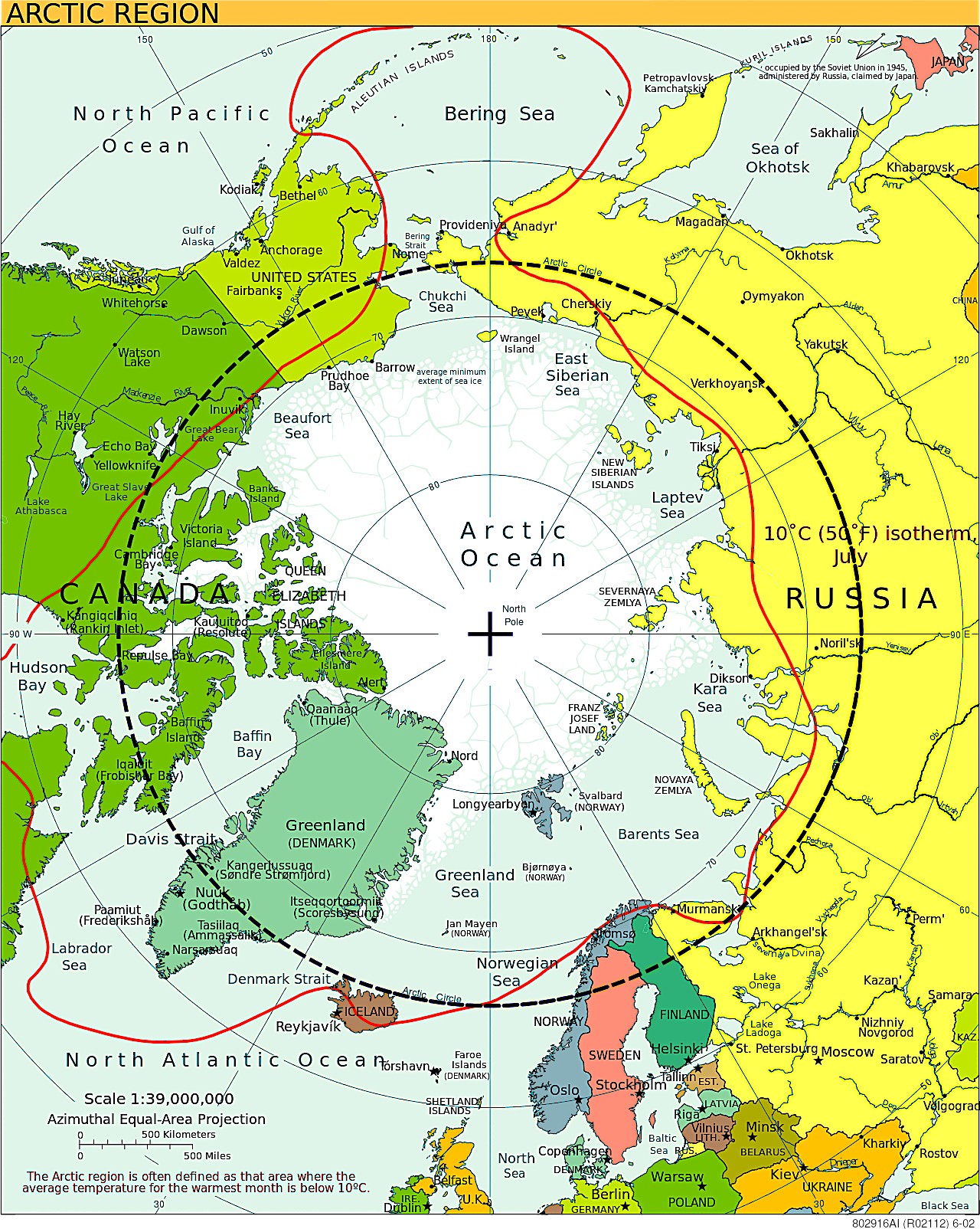
Arctic Circle Region Map: Temperature Line Redefining the North
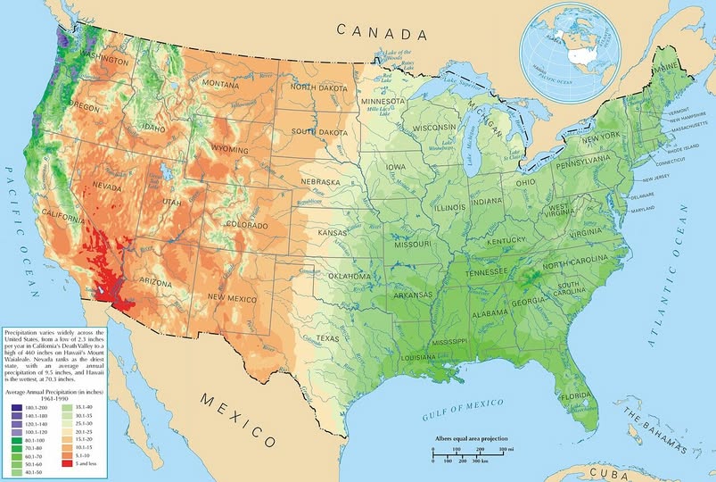
Where Does It Rain in America? A State-by-State Guide to U.S. Precipitation
Why South America Is WAY Bigger Than You Think: The Map That Will Blow Your Mind
The Tesla Decline in Europe Map: How the EV Pioneer Lost Its Grip on a Key Market
What If Germany Had Been Split Three Ways? Churchill's Forgotten 1944 Plan
China's High-Speed Rail Revolution Map: From Zero to Global Leader in 12 Years