
This is a map of Indonesia showcasing its land features. It is shaded according to the Southeast Asian country’s bicolor flag: the high areas in red and lowlands in white.
Indonesia consists of thousands of islands, big and small, and is the largest archipelago in the world, according to the country’s embassy in Washington, D.C. The nation’s total land area is 1,919,443 square kilometers (742,308 square miles).
The country’s highest point is Mount Puncak Jaya in West Papua. It stands at 16,024 feet (4,884 meters), according to ThoughtCo’s profile of the country.
Help us out by sharing this map:
You May Also Like:
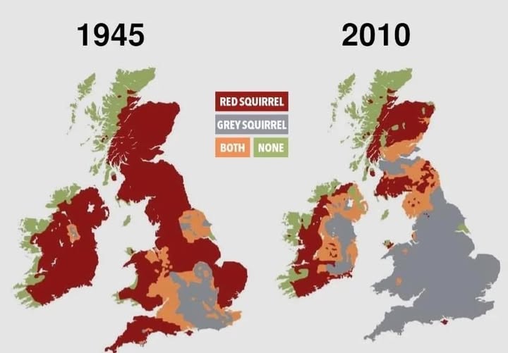
The Gray Invasion: How Britain's Red Squirrel Lost Its Home
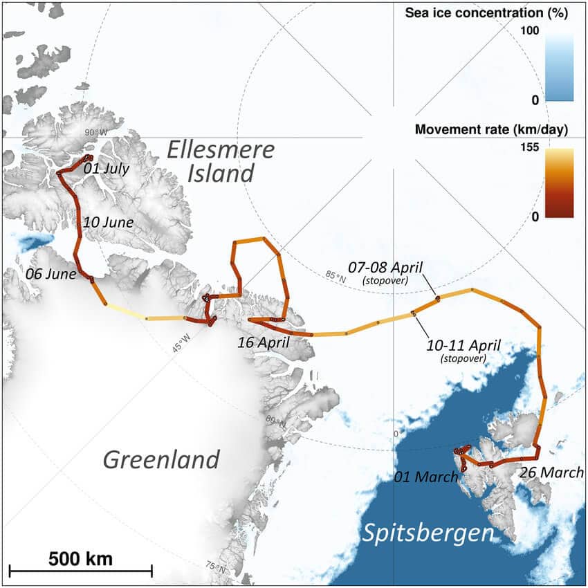
Arctic Fox's Journey From Norway To Canada (2018) Map

From Blur to Beauty: How We Finally Saw Pluto's True Face

The Ultimate American Road Trip: Driving Through All 48 States in 113 Hours
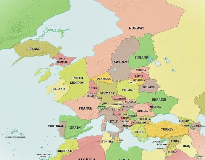
What Would Europe Look Like If the Ocean Dropped 1,000 Meters?

The Great Population Shift: Which Countries Are Shrinking in 2024?
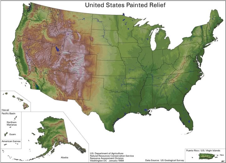
America's Hidden Terrain: What the Land Actually Looks Like Beneath Your Feet
Thank you for your sharing. I am worried that I lack creative ideas. It is your article that makes me full of hope. Thank you. But, I have a question, can you help me? https://accounts.binance.com/register-person?ref=QCGZMHR6
Your point of view caught my eye and was very interesting. Thanks. I have a question for you.
Your point of view caught my eye and was very interesting. Thanks. I have a question for you.
Thank you for your sharing. I am worried that I lack creative ideas. It is your article that makes me full of hope. Thank you. But, I have a question, can you help me? https://www.binance.bh/register?ref=IHJUI7TF
Your article helped me a lot, is there any more related content? Thanks! https://www.binance.bh/register?ref=QCGZMHR6
Can you be more specific about the content of your article? After reading it, I still have some doubts. Hope you can help me.