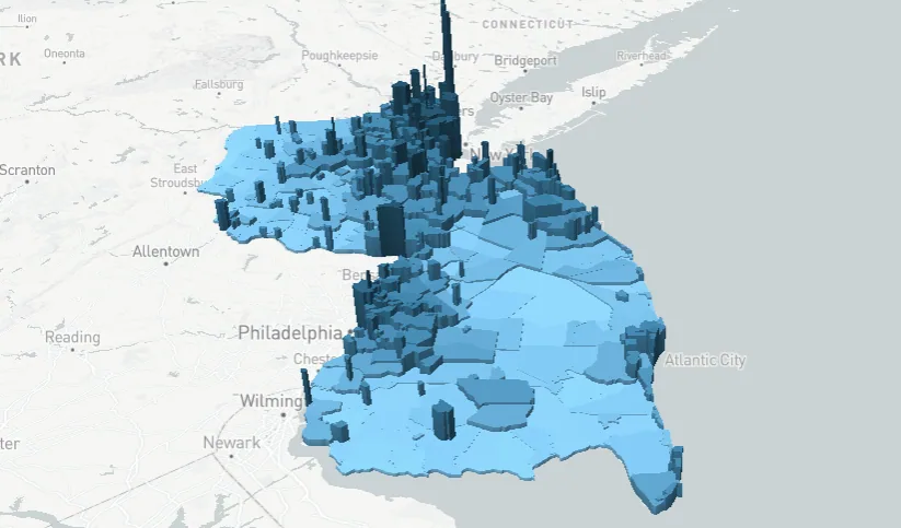
Shown above is a map of the U.S. state of New Jersey.
Data from the U.S. Census shows that as of April 2020, the Garden State has a population of over 9.2 million people. This figure ranks the state 11th in terms of the population count.
Statista notes that there are about 1,200 people living per square mile in the state, making NJ the state with the densest population rate.
Help us out by sharing this map:
Can you be more specific about the content of your article? After reading it, I still have some doubts. Hope you can help me.
I don’t think the title of your article matches the content lol. Just kidding, mainly because I had some doubts after reading the article.
Can you be more specific about the content of your article? After reading it, I still have some doubts. Hope you can help me.
Thank you for your sharing. I am worried that I lack creative ideas. It is your article that makes me full of hope. Thank you. But, I have a question, can you help me? https://www.binance.bh/register?ref=IHJUI7TF
I don’t think the title of your article matches the content lol. Just kidding, mainly because I had some doubts after reading the article.
I don’t think the title of your article matches the content lol. Just kidding, mainly because I had some doubts after reading the article.
Can you be more specific about the content of your article? After reading it, I still have some doubts. Hope you can help me. https://accounts.binance.bh/en-KZ/register-person?ref=I3OM7SCZ
Can you be more specific about the content of your article? After reading it, I still have some doubts. Hope you can help me. https://www.binance.info/de/register?ref=W0BCQMF1