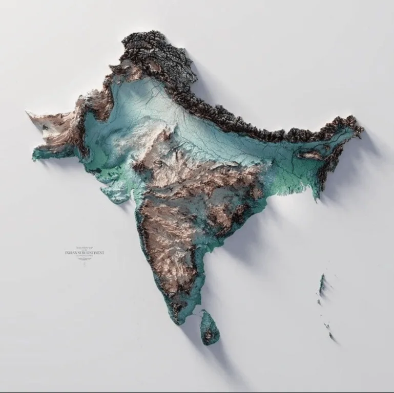
This is a map of the Indian subcontinent, located in South Asia.
The subcontinent comprises six countries: India, Pakistan, Nepal, Bhutan, Bangladesh, and Sri Lanka.
Most of the subcontinent is mountainous, especially in the northern region and most of India. The world’s highest peak, Mount Everest, is also located here. Britannica notes that the peak of this mountain range, situated in the China-Nepal border, stands at over 29,000 feet (8,800 meters) high.
Help us out by sharing this map:
Your point of view caught my eye and was very interesting. Thanks. I have a question for you.
Your point of view caught my eye and was very interesting. Thanks. I have a question for you. https://accounts.binance.info/register-person?ref=IHJUI7TF
Can you be more specific about the content of your article? After reading it, I still have some doubts. Hope you can help me.
Can you be more specific about the content of your article? After reading it, I still have some doubts. Hope you can help me.
I don’t think the title of your article matches the content lol. Just kidding, mainly because I had some doubts after reading the article.
Your article helped me a lot, is there any more related content? Thanks! https://www.binance.info/register?ref=JW3W4Y3A
Can you be more specific about the content of your article? After reading it, I still have some doubts. Hope you can help me.