
This West African map prominently features the Niger River, the third-largest river in the continent.
Britannica lists the river’s length as 2,600 miles (4,200 kilometers).
The river passes through five African countries. It starts off in the southern part of Guinea, then through to Mali, Niger, Benin, and Nigeria, as it drains down to the Atlantic Ocean.
Help us out by sharing this map:
You May Also Like:

The Great Lakes Are Bigger Than You Think: A Mind-Blowing European Comparison
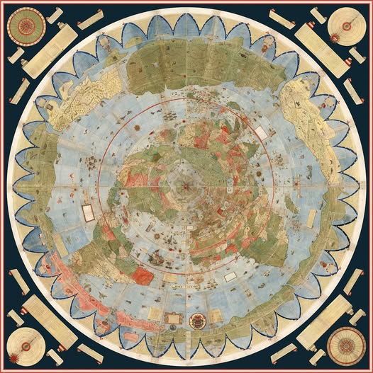
The Most Ambitious Map Ever Drawn: Meet the 1587 Masterpiece That Blew Everyone's Minds
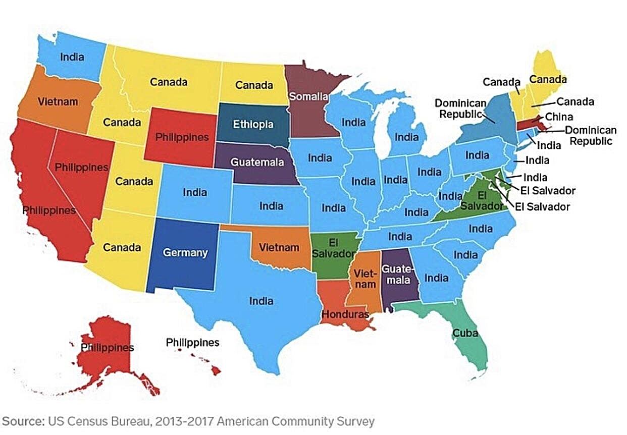
Beyond Mexico: The Surprising Map of America's Immigrant Communities
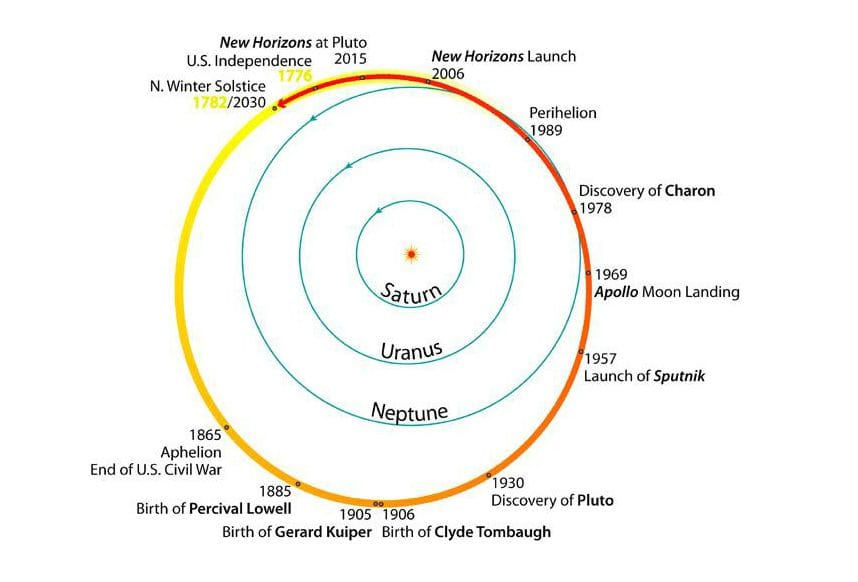
America's Entire History Fits Inside One Trip Around the Sun: A Cosmic Perspective on Pluto's Orbit
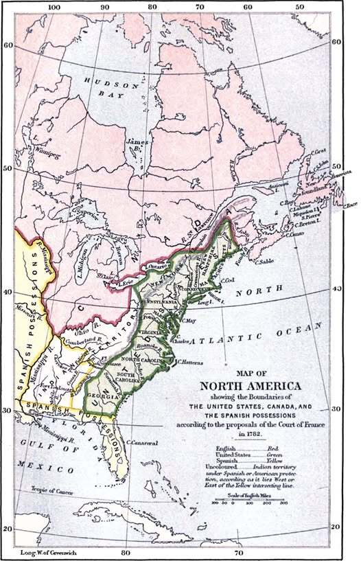
What America Almost Looked Like: France's Audacious 1782 Map
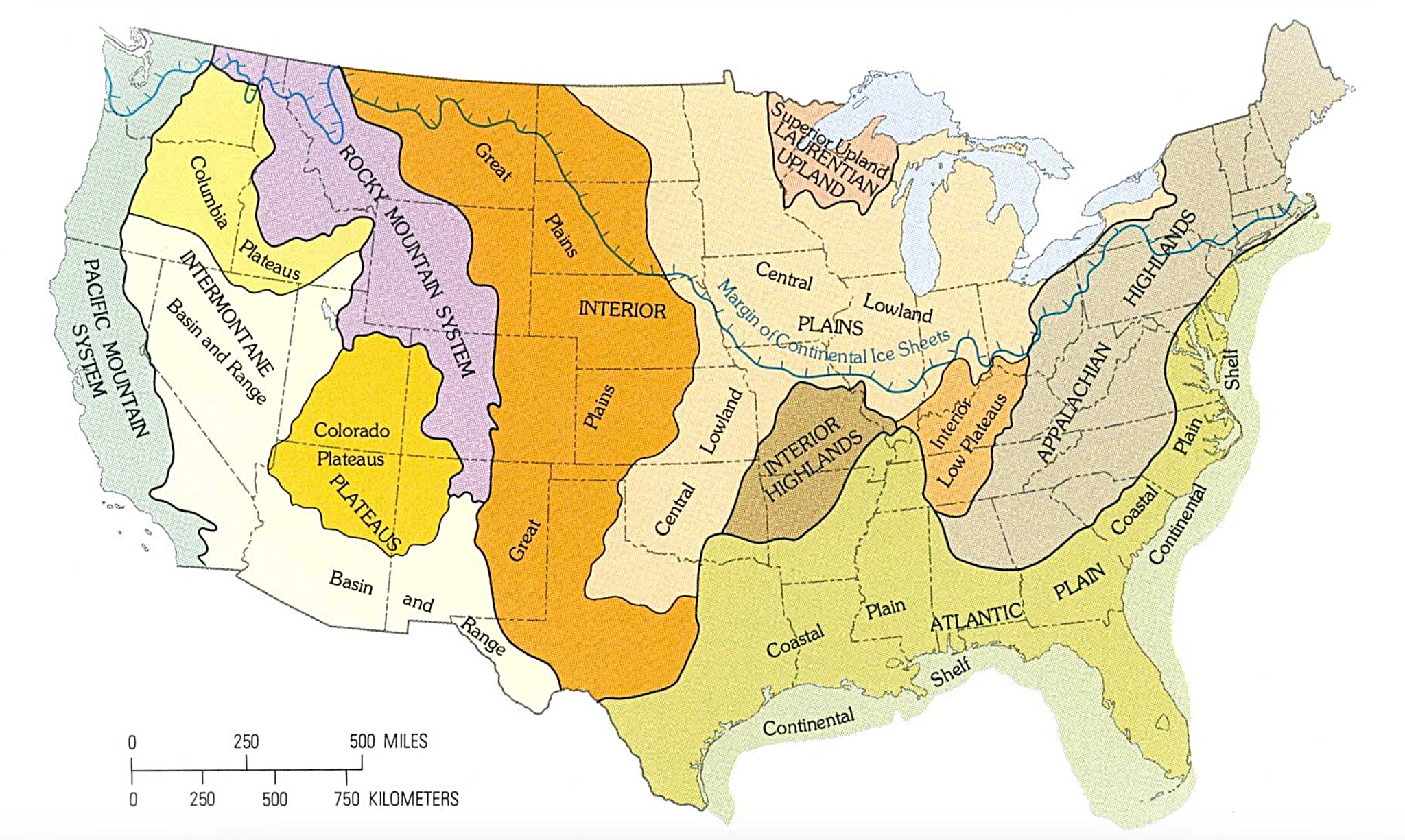
America's Hidden Geography: The Surprising Story Behind Our Nation's Terrain Regions

The Lost Tribes of Ancient Britain: What Caesar Found When He Crossed the Channel

Your point of view caught my eye and was very interesting. Thanks. I have a question for you. https://www.binance.com/de-CH/register?ref=W0BCQMF1
Thank you for your sharing. I am worried that I lack creative ideas. It is your article that makes me full of hope. Thank you. But, I have a question, can you help me?
Thanks for sharing. I read many of your blog posts, cool, your blog is very good.
Your article helped me a lot, is there any more related content? Thanks! https://accounts.binance.com/register/person?ref=W49FLGDN
Can you be more specific about the content of your article? After reading it, I still have some doubts. Hope you can help me.
Can you be more specific about the content of your article? After reading it, I still have some doubts. Hope you can help me. https://www.binance.bh/register?ref=JW3W4Y3A